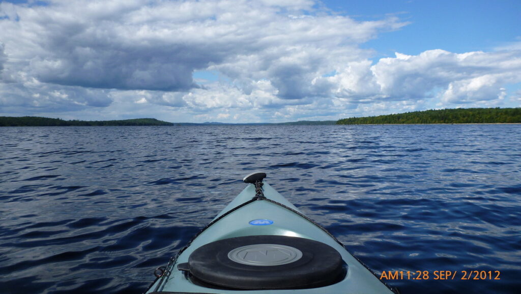
My brother and I decided we wanted to do a weeklong trip and we wanted it to be remote. We ended up choosing the Allagash River in Maine.
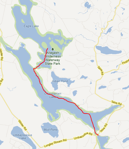
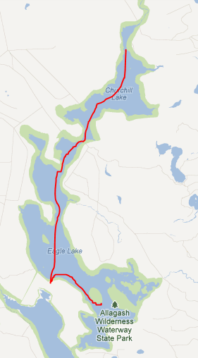
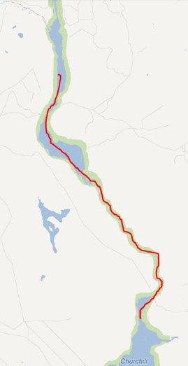
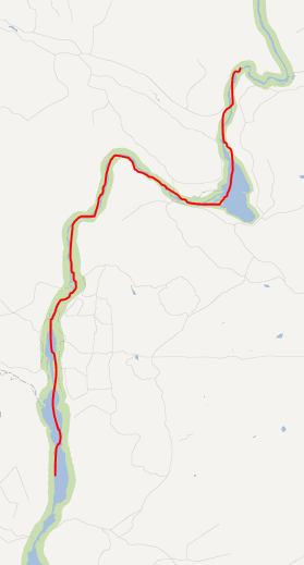
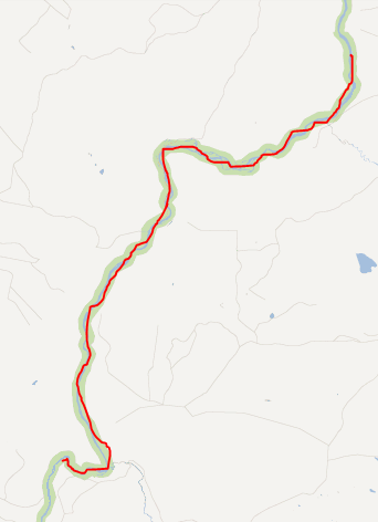
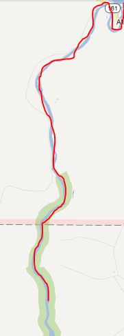
I left all EXIF data with GPS coordinates in the pictures. Some of the GPS readings may be incorrect depending on how long the camera was off but most are close. I’ve included the planned route and distance for each day.
It’s around 11 hours to drive to Fort Kent Maine where we started the trip. We arrived in the evening, had dinner in a local restaurant across from the border crossing to Canada and had a good night’s sleep.
The next morning, we arrived at our Guides location which was 40 minutes from the hotel. We loaded our kayaks on the van and started another 3 ½ hour drive on logging roads to our starting point at Chamberlain Lake. From Chamberlain Lake we paddled until we had a portage at Lock Dam to Eagle Lake. We stayed at Pillsbury Island campsite the first night completing 15 miles on the lakes our first day. I was using my new 11′ Dangerbird and custom Hammockgear 40 degree quilt set with one of their Dyneema 4 season tarps. Everything worked great and I have to say I’m very happy with the hammock, quilts and tarp.
On day two we set out to find the tramway/train location on Eagle Lake. At one point the tramway and trains were used to transport logs from one lake to another. Now there just sitting there in the woods. If you do this trip DO NOT paddle into the waterway like we did. The mud was past our knees and we had our water shoes sucked off a number of times before we got out. There is a trail on the left leading in if you beach on that side. From the tramway site we paddled across Eagle Lake to Round pond into Churchill Lake. Day two was another 15+ mile day ending up at High Bank campsite. Another really nice site we passed was Scofield Point. We just weren’t ready to stop for the day and High Bank is known for great views. We had our favorite meal of the trip which was Packit Gourmet’s Texas state fair chili with onions and green peppers added in. All the Packit Gourmet and Hawk vittles meals were good but this was great!
On Day three we finished off Churchill Lake seeing another moose in the morning and then Heron Lake to make it to Churchill Dam. Here we had our gear transported for $10 down below the class 2 rapids, had time to visit the Churchill depot history center and then headed out on what I think was a 4 mile stretch of rapids. Nothing scary but it was a ton of fun and enough to fill our yaks with water so we had to stop and empty them out. We had spray skirts but decided not to use them because it didn’t look that bad. If you do this use a spray skirt, it will save time and keep you dryer 🙂 You can pick your gear up at Bissonnette Bridge, load back up and continue on the river. We completed Umsaskis Lake and moved on to Grey Brook campsite. Another long day ended with rain coming that night into the next morning.
Day four we continued on Long Lake in the rain and through Harvey pond with another portage at Long Lake falls. This one like the first was a matter of a few 100 feet and we didn’t unload the yaks to get them around. I found that my Packa was great for kayaking, wearing it over the vest and venting in the wind as we paddled across the lake. It stopped raining by late morning. We had slow moving river after the portage for a while until we got to round pond. At the big tree take the left branch. It’s faster and was deep enough if you stay to the right. If you do this trip you’ll know what I mean by the big tree when you get there J We continued on until we reached Croque Brook campsite which is the only place I didn’t use a hammock. No tree’s unless I wanted to go back near the outhouse and setup on a game trail so I decided to try a tent after years of hammock only camping. Around dusk I was headed to the picnic table and could feel something running through the woods behind our site. My brother thought I was pounding a log on the picnic table but I was only shifting back and forth behind the table waiting to see which way to jump if the moose came out of the woods. We figured that if I had setup my hammock on the trail, I would have been hanging from moose antlers as it ran through 😊 Note: game trails in MA no big deal, in ME steer clear with tents and hammocks!
Day five I woke my brother up at first light to see the moose about 10 yards away walking up the stream in front of our tent. We then packed up and decided to get an early start to see what would be out on the river. On the van ride in at the start of the trip I saw more wildlife than 200 miles on the A.T. including a moose but this morning was going to be even better. Headed down the river by 6:30 or 7 we ran into another six moose before we stopped at the Michaud farm ranger station. Here we read a weather report which stated the river was at 520 CFM after the rain. Most of the trip the water was at 420 CFM. Day five we pushed hard and continued down the river until we reached our 1/3-mile portage at the falls. This time we emptied the yaks and moved everything around to continue down the river until we reached the Big Brook North campsite. After drying our gear out again and eating for around 3 hours we got a good night’s sleep with a little rain coming in during the night. By morning the sky had cleared and it was another beautiful day.
Day six had a mix of slow-moving river with some nice rapids mixed in. We only had a few hours before reaching the end of the Allagash waterway and our exit location. We finished shortly after 10 a.m. a day early, doing 100 miles in six days. From there we loaded up the car and started our 11+ hour ride home.
A few things I’d like to note. This was my first week long trip in a kayak and I had some take aways.
- First have as little as possible strapped to the outside of your kayak. Winds would catch my pad and I’d start to veer to one side until I figured out what was going on and started to compensate
- The Packa rain jacket worked out great covering everything and still letting me vent when we were doing 4+ MPH on the lakes
- We had way too much food. For a hiking trip like this my food intake would have been way up by day three. This never seemed to happen and doing the high mileage days we didn’t stop for lunch. We just paddled until we hit camp and then snacked for a few hours until it was time for dinner
- You can’t have too many dry bags and many small bags are easier to pack than a few large ones
- This brings me to the kayak. The Tsunami 12 1/2 foot was just big enough and is a great weekend size but if I was going to do more week long trips I’d go with my brother’s 14 1/2 foot model. His also floated higher and although heavier did better in the shallow waters by a small margin
I’m not a very eloquent writer but I hope between the trip report and the photos you can get an idea of how awesome this trip was. I highly recommend this route, it’s a whole different ballgame when you don’t see anyone for days and you hear nothing but nature. If we end up camping together at some point, ask about the ghost stories from this trip. Strange things sometimes happen out there…
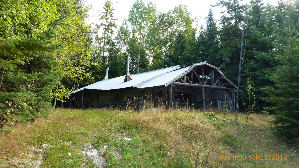
Palais Royal 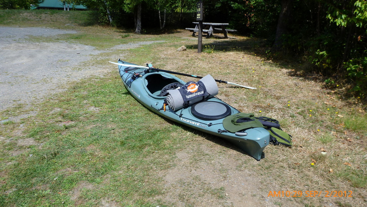
Ready to go 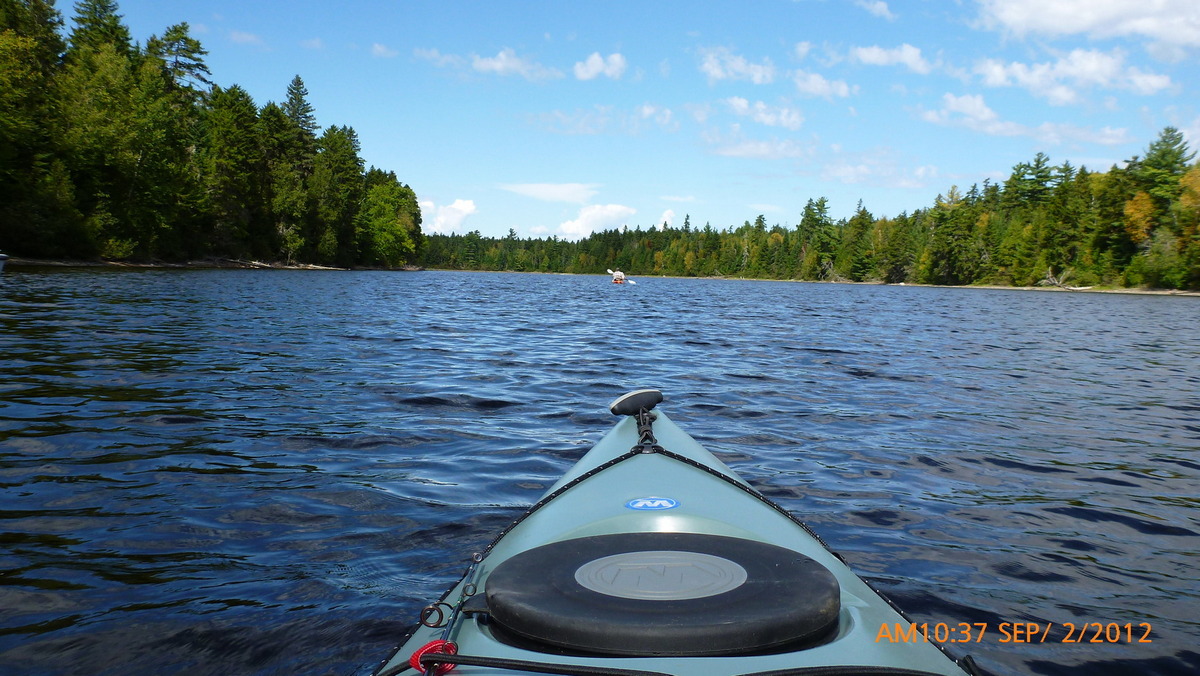
we’re off 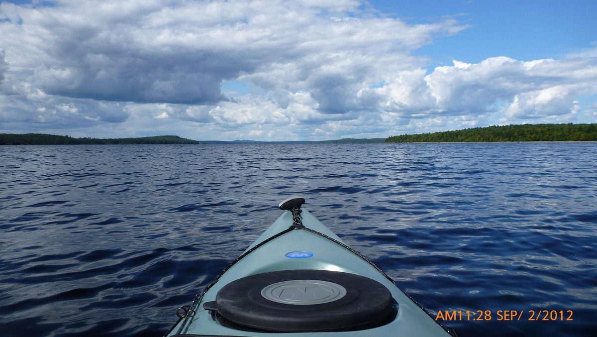
Chamberlain Lake 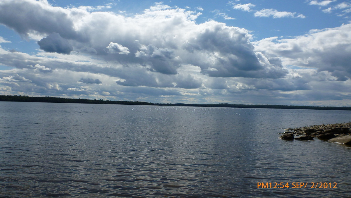
Lunch stop 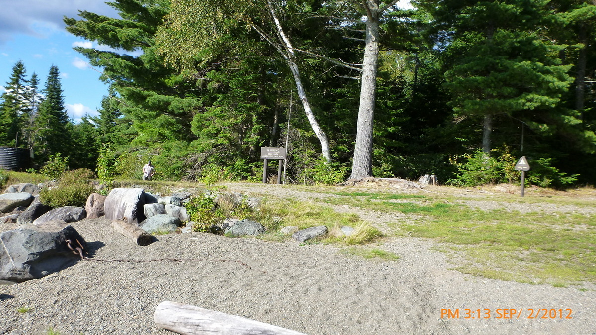
Lock Dam 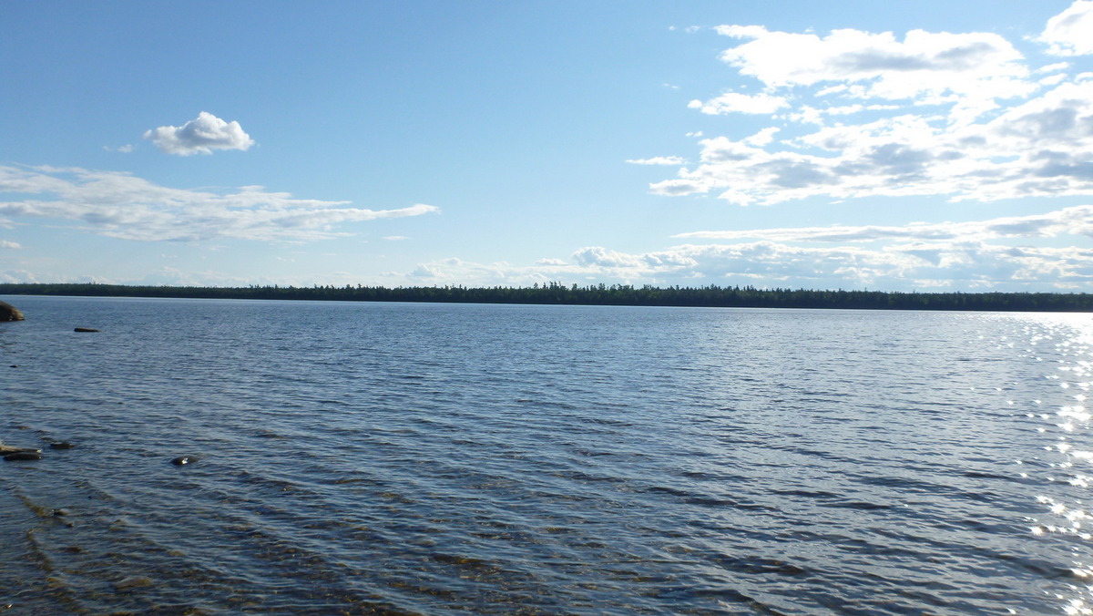
View from Lock Dam 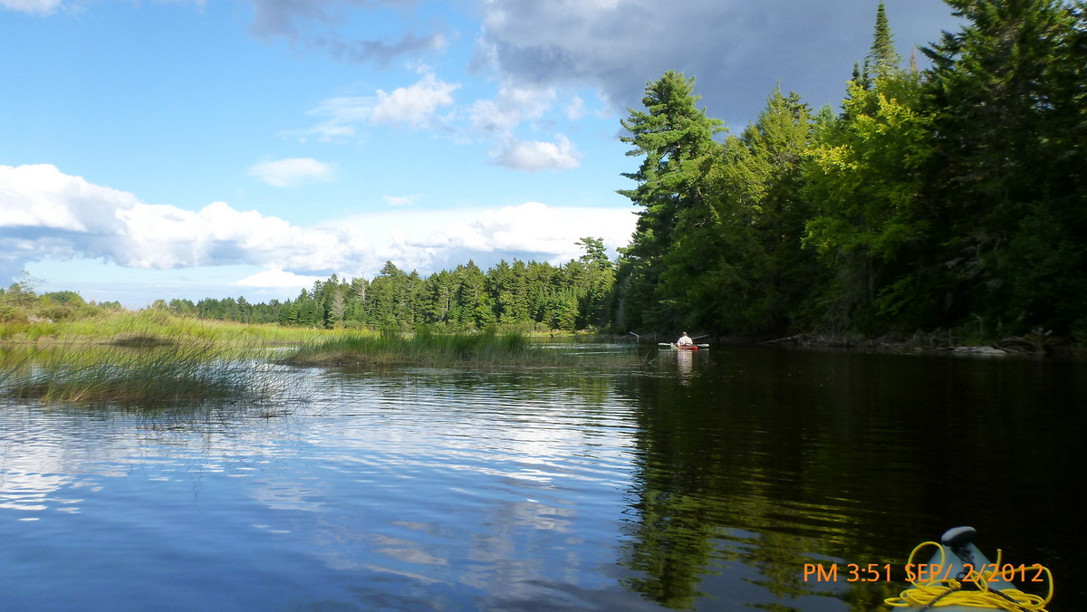
Connector to Eagle Lake 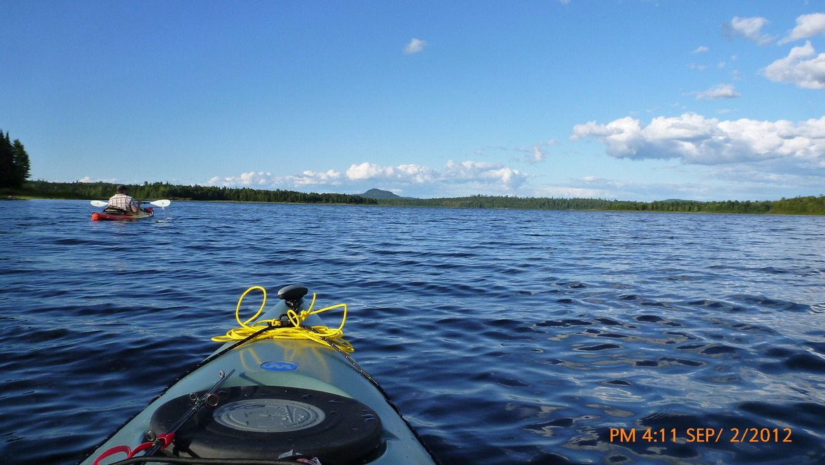
First view from Eagle lake 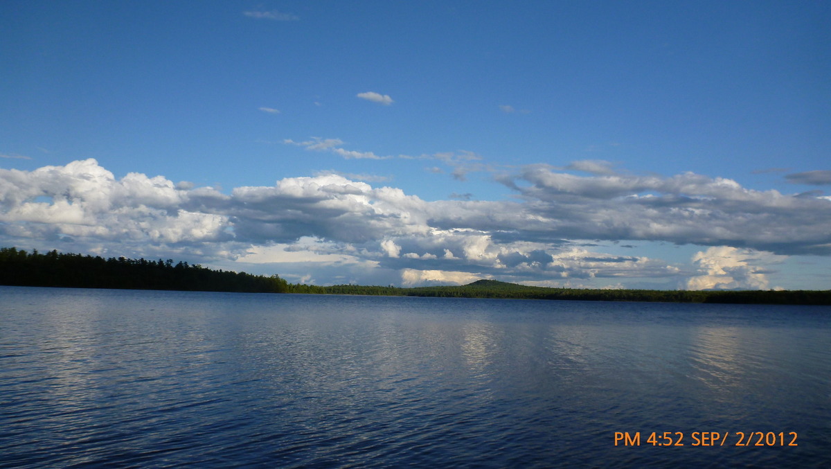
Eagle Lake 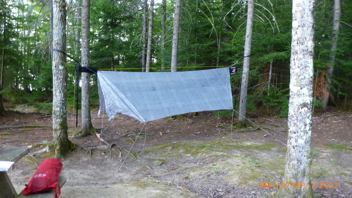
Pillsbury Island setup first night 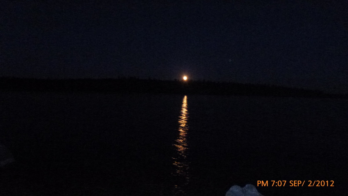
Moonrise 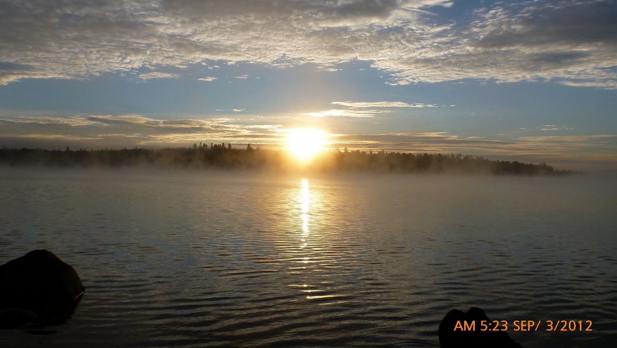
Sunrise at Pillsbury Island campsite 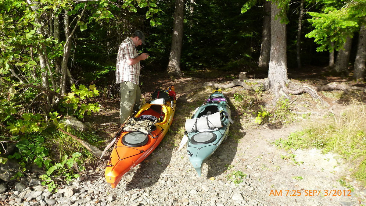
Ready to go day 2 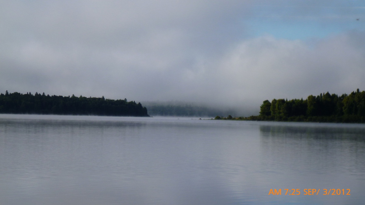
Mist on Eagle lake 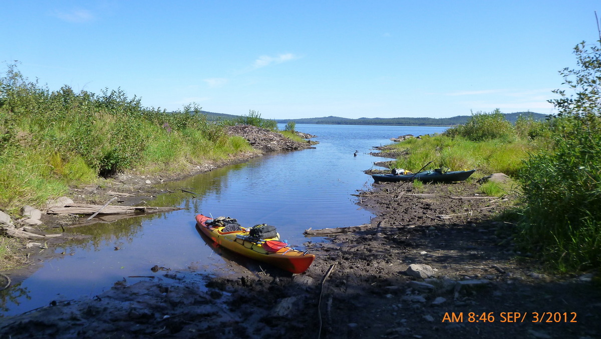
Tramway location 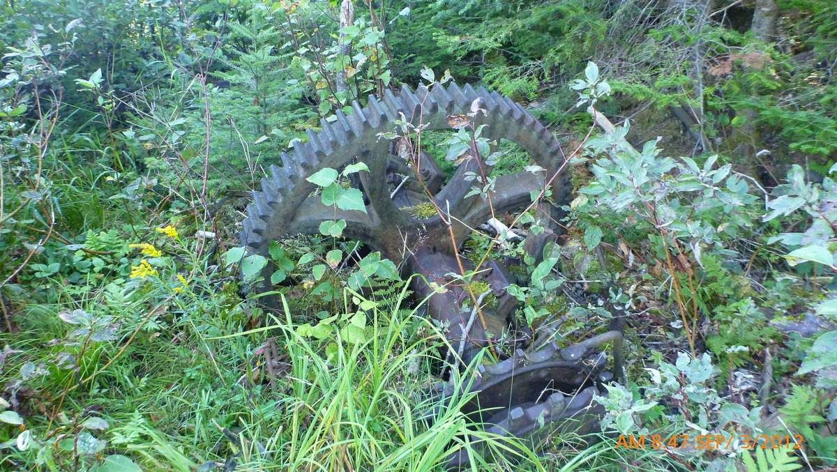
Tramway parts 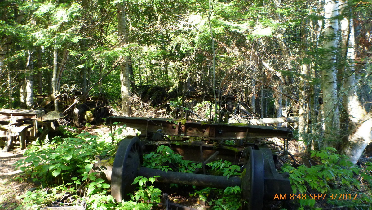
Tramway 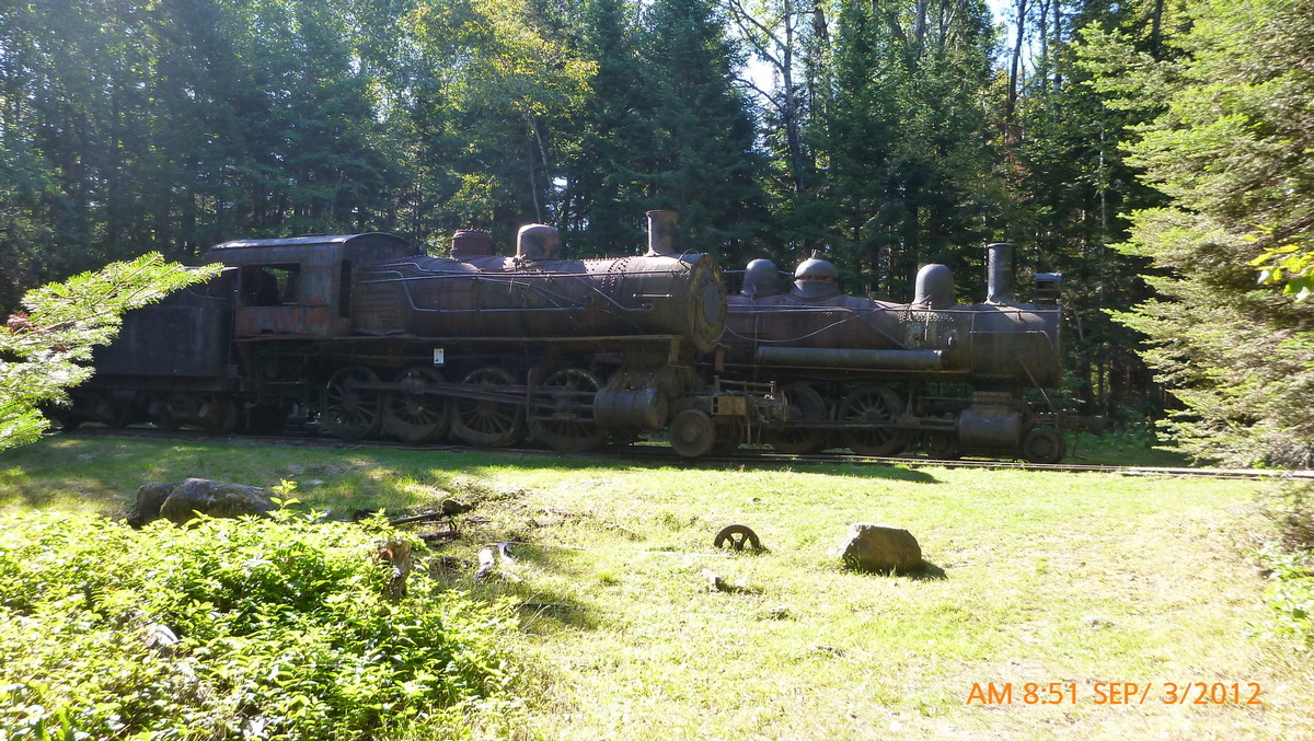
Trains in woods 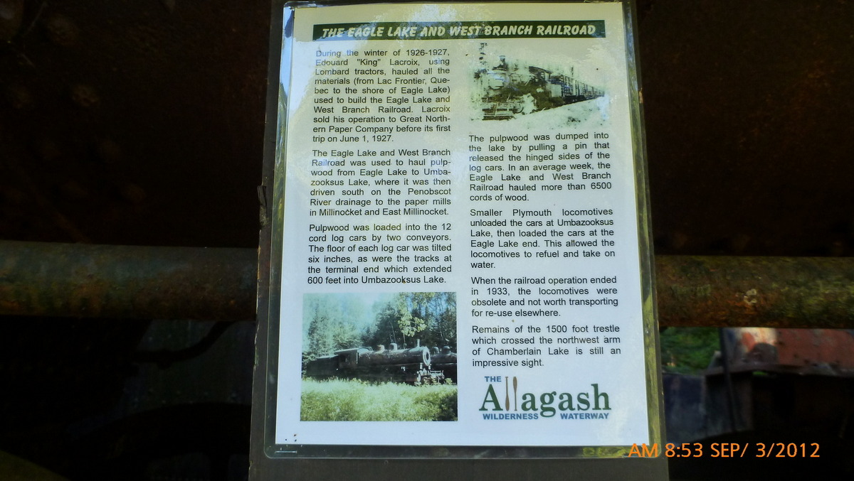
Eagle Lake and West Branch Railroad 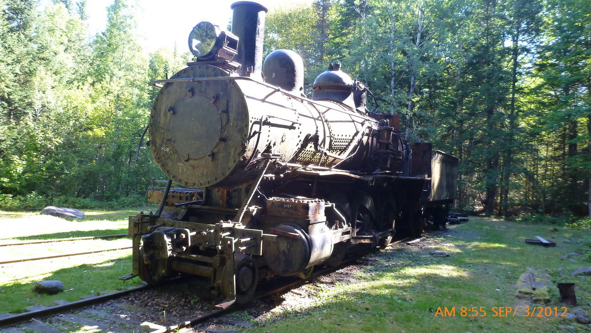
Second train 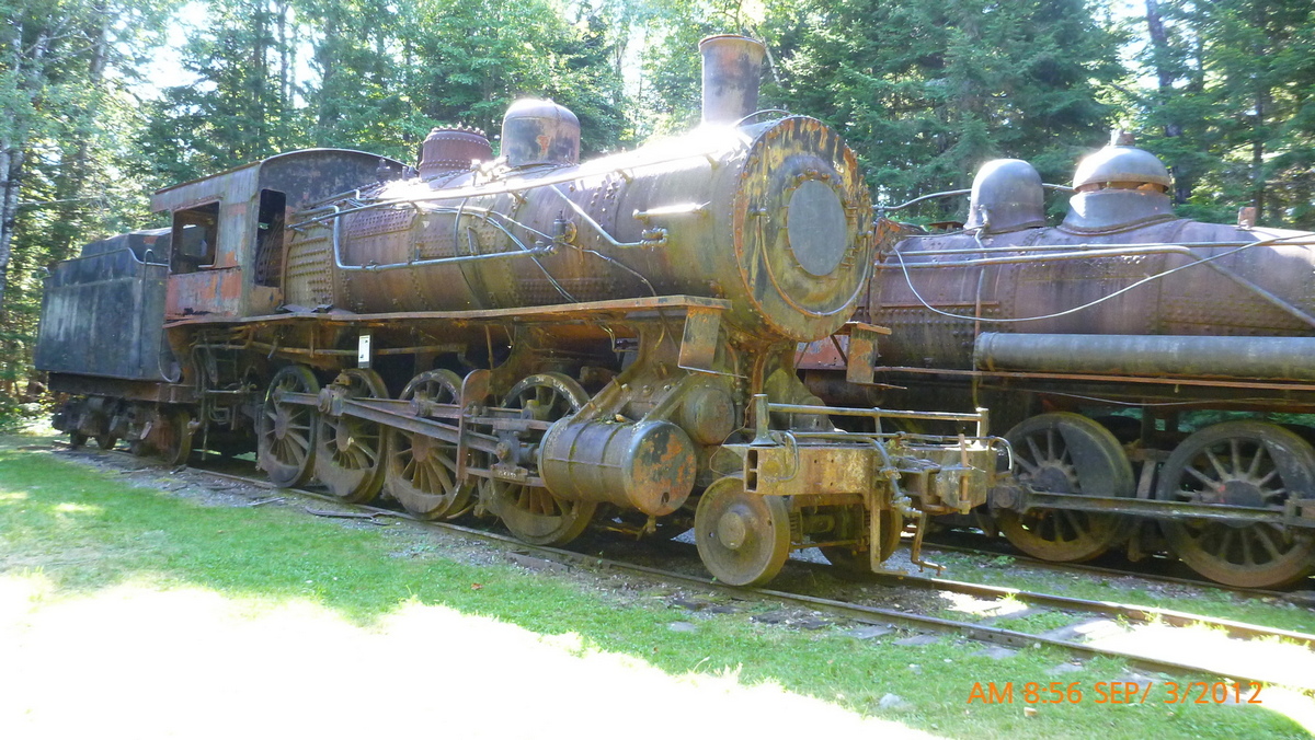
First train 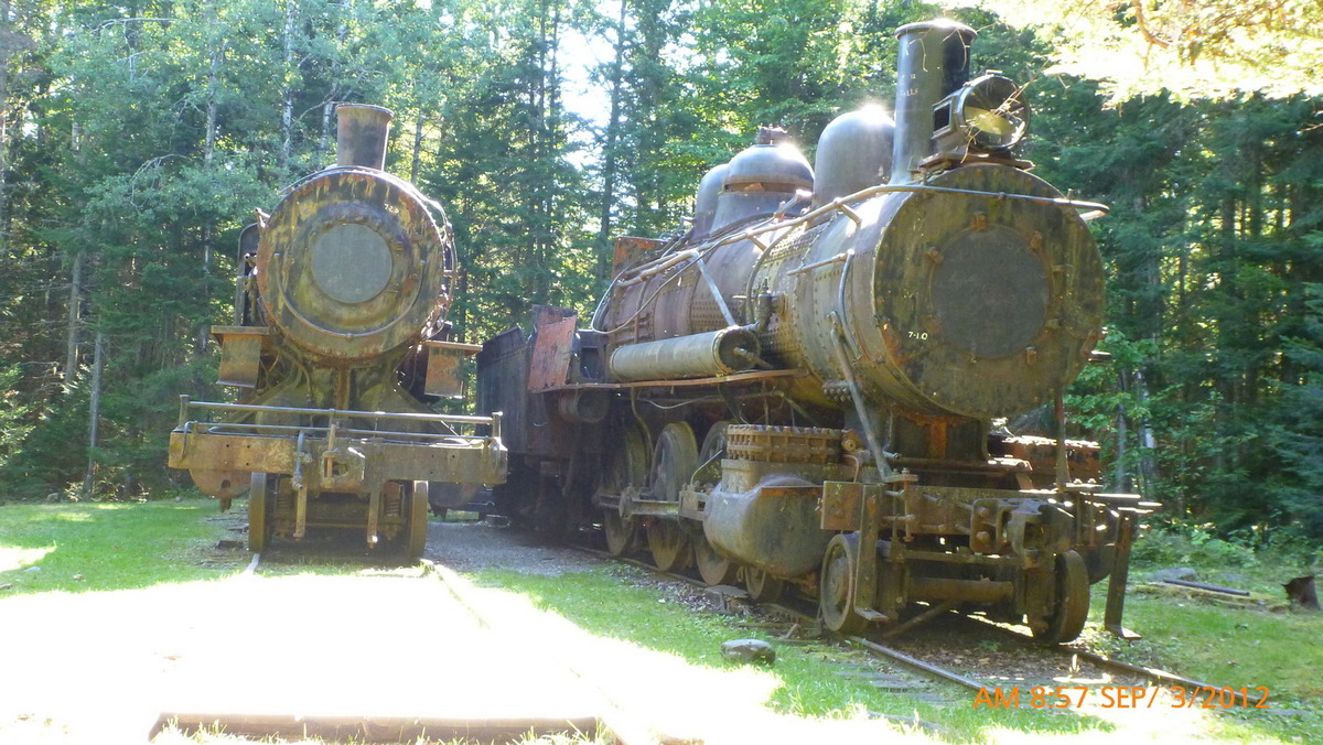
Both locomotives 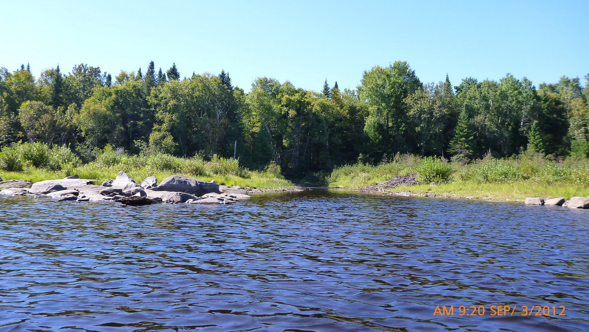
Entrance to Tramway 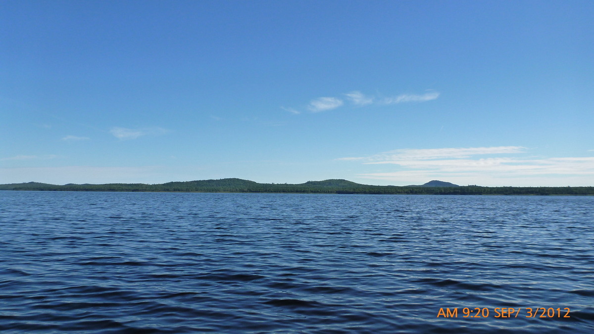
Eagle lake in the afternoon 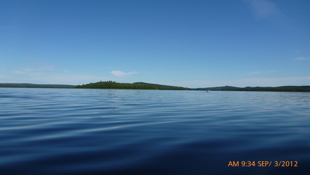
Calm waters 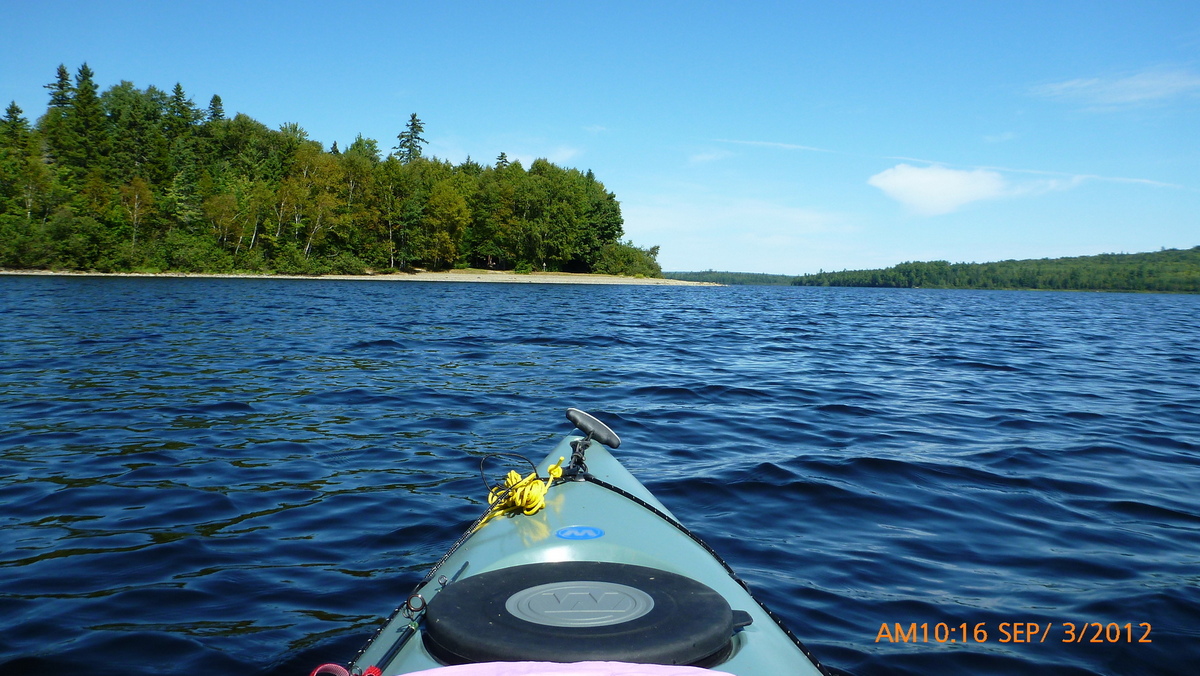
Farm Island 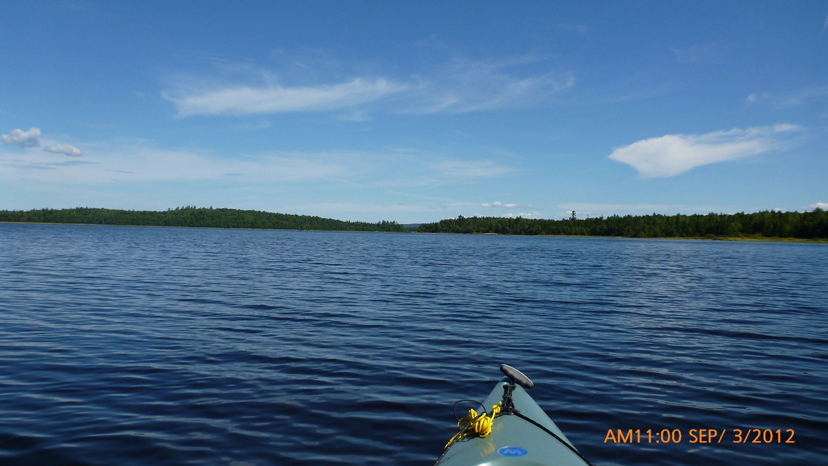
Round Pond 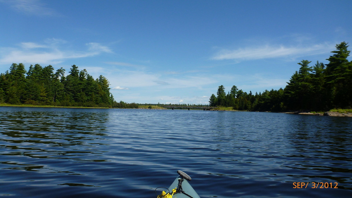
Johns Bridge 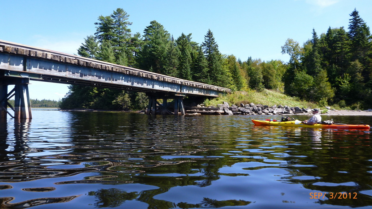
Johns Bridge going under 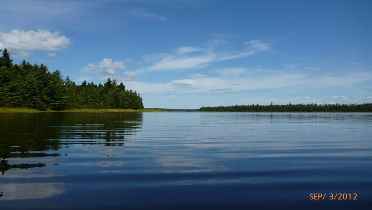
Entering Churchill Lake 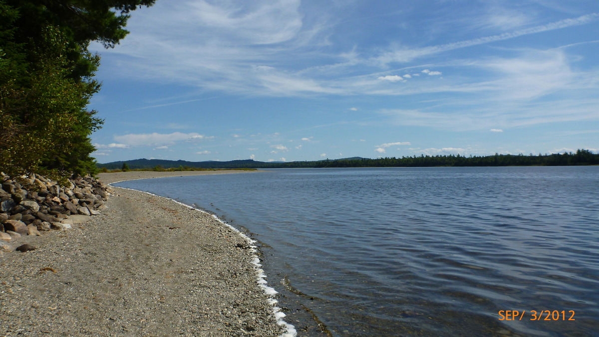
Beach at Scofield Point 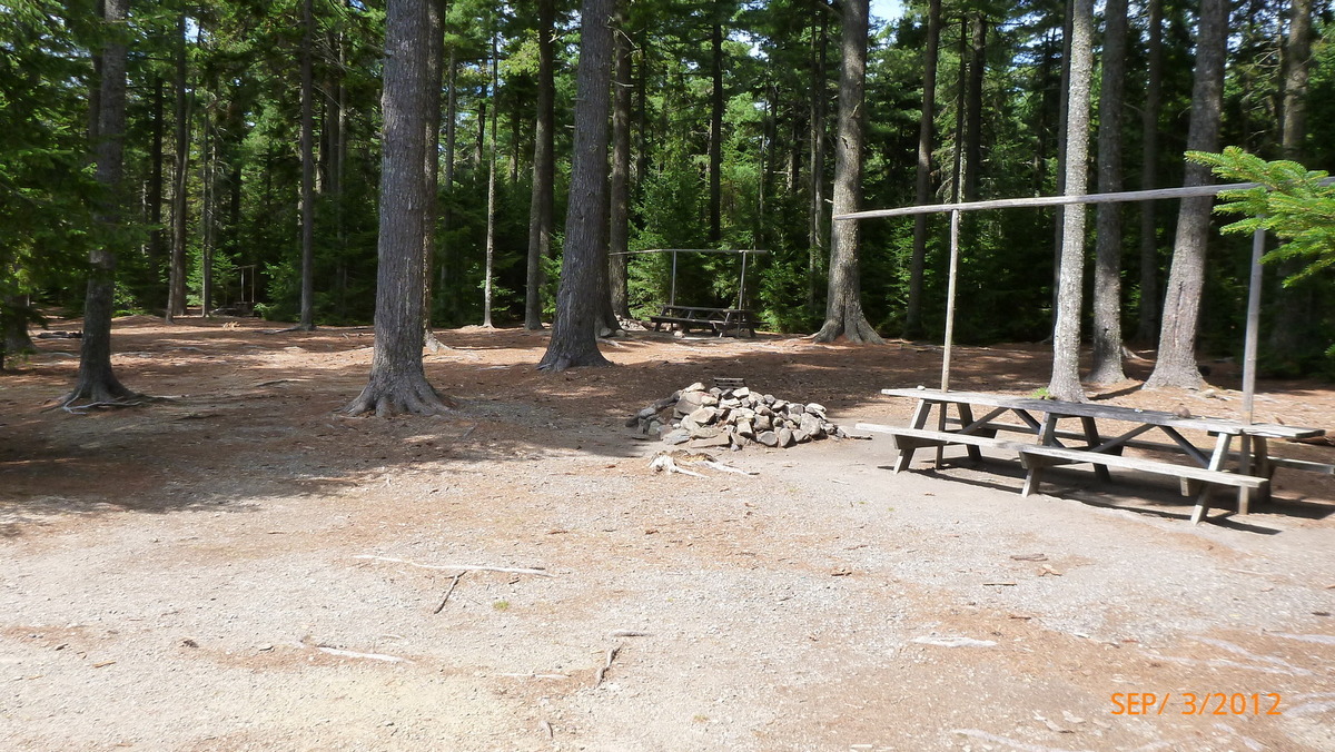
Scofield Point campsite 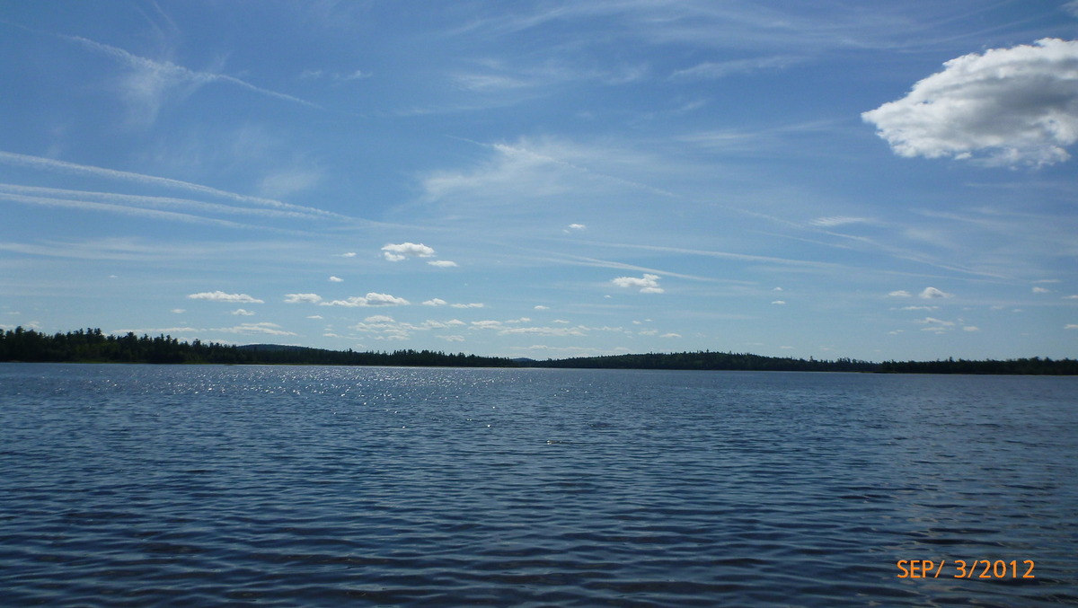
Churchill Lake 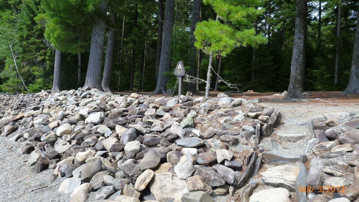
Scofield Point Entrance 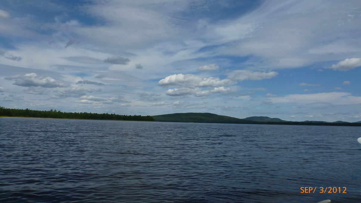
Churchill Lake in Afternoon 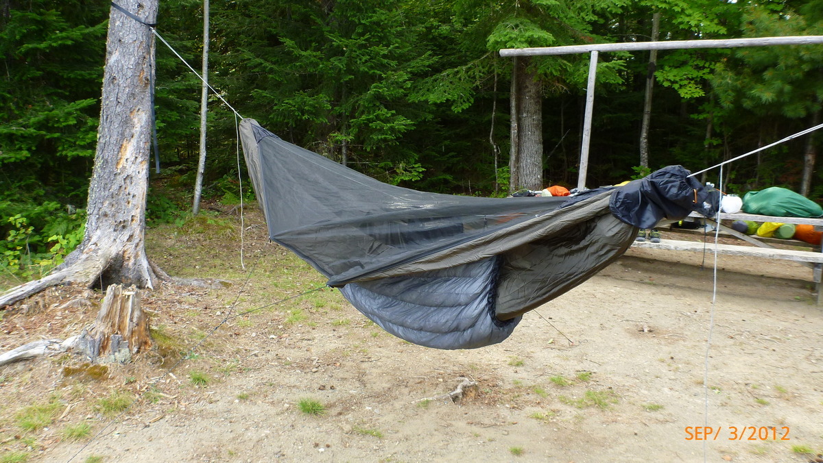
Summer quilt on Dangerbird hammock 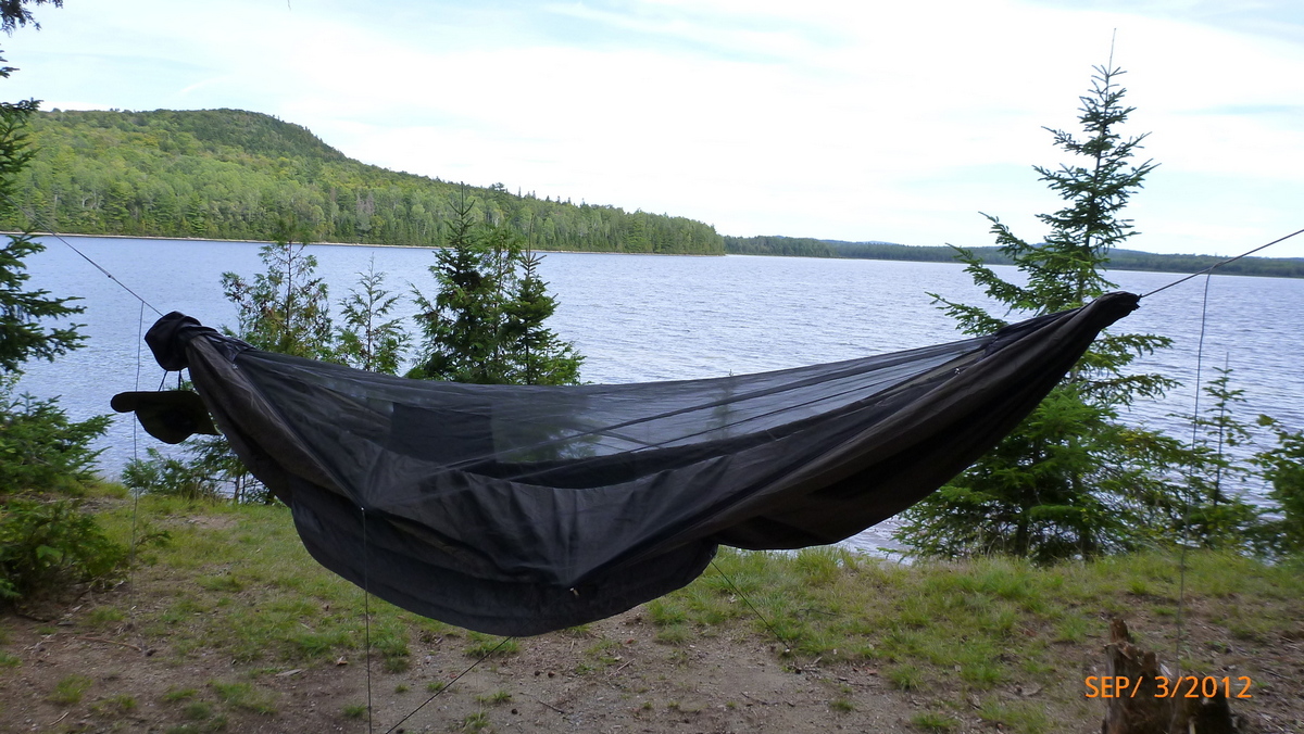
High Bank View 
Friend at High Bank 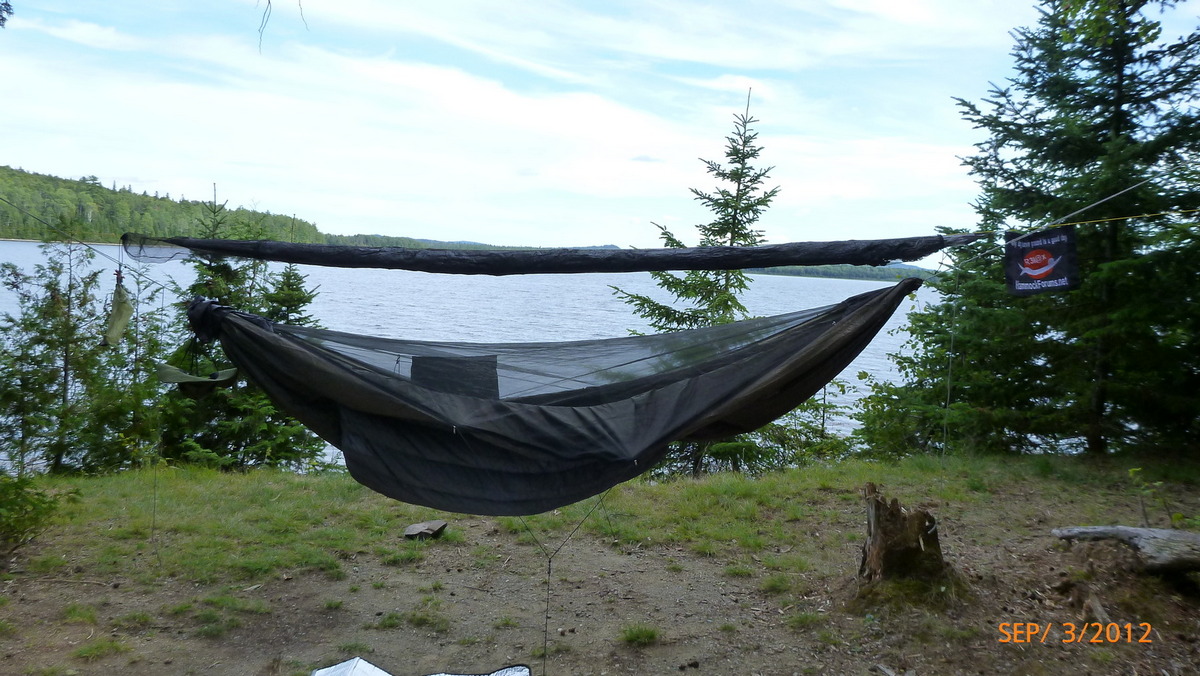
Tarp ready to deploy 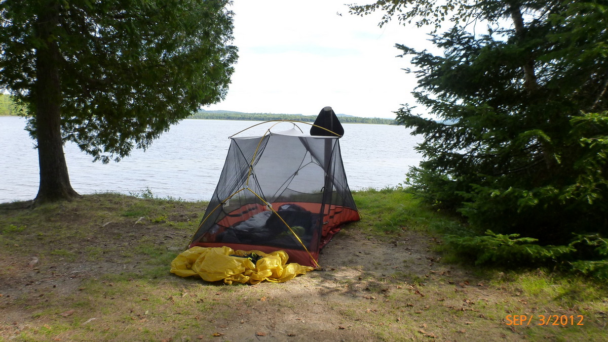
Bills setup at High Bank 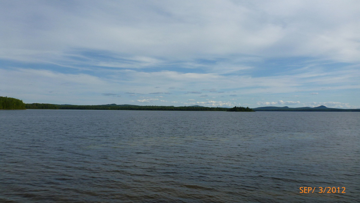
High Bank in afternoon 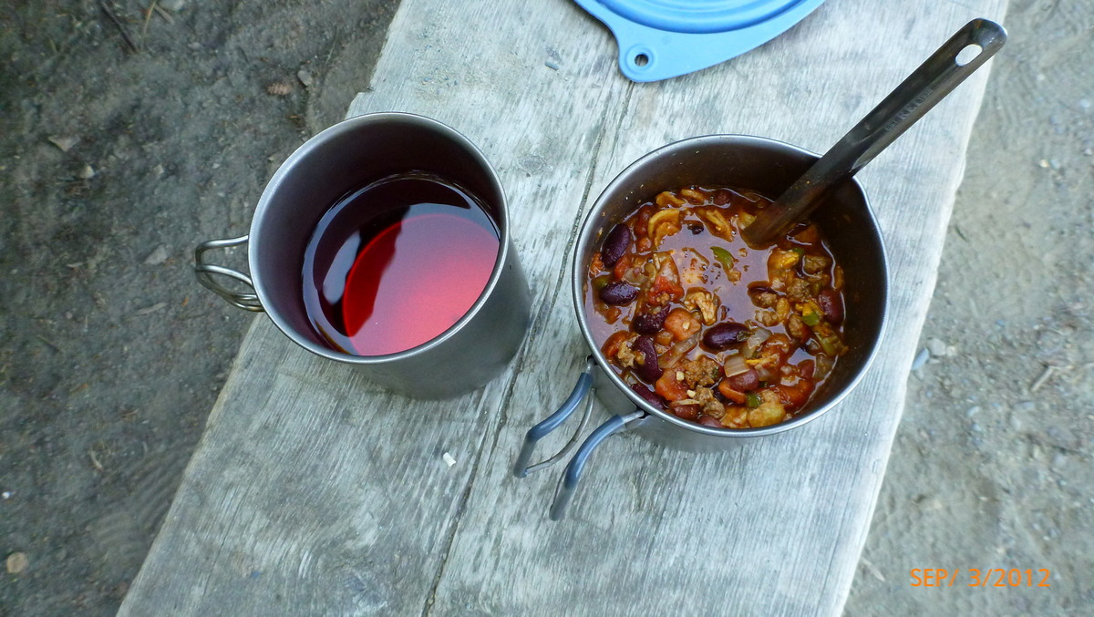
Packit Gourmet Texas State Fair Chili 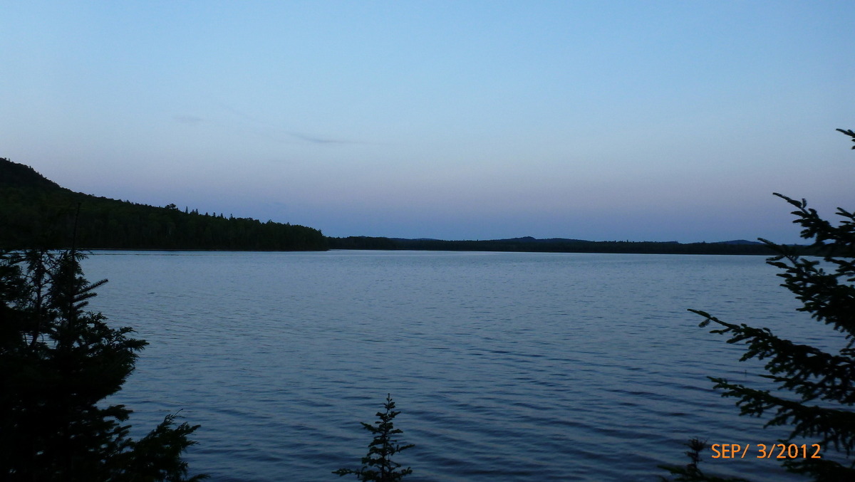
Evening from High Bank 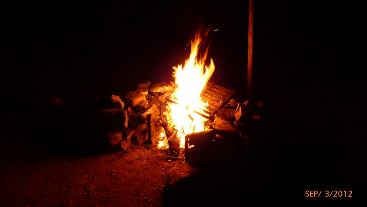
Fire at High Bank 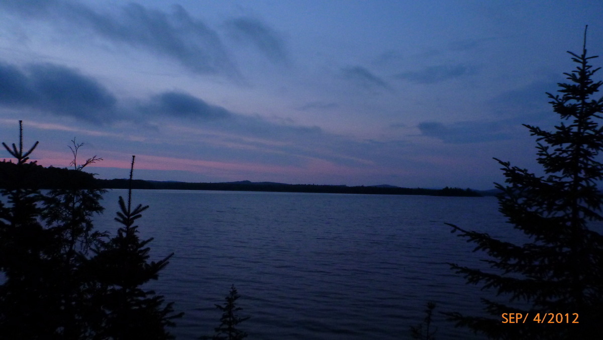
Evening sky High Bank 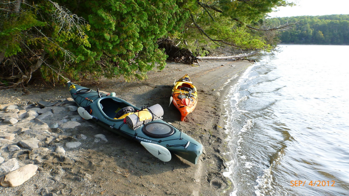
Day 3 ready to go 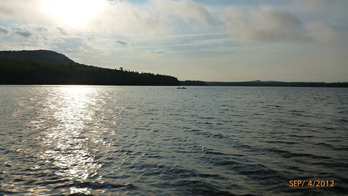
Canoe on Churchill Lake 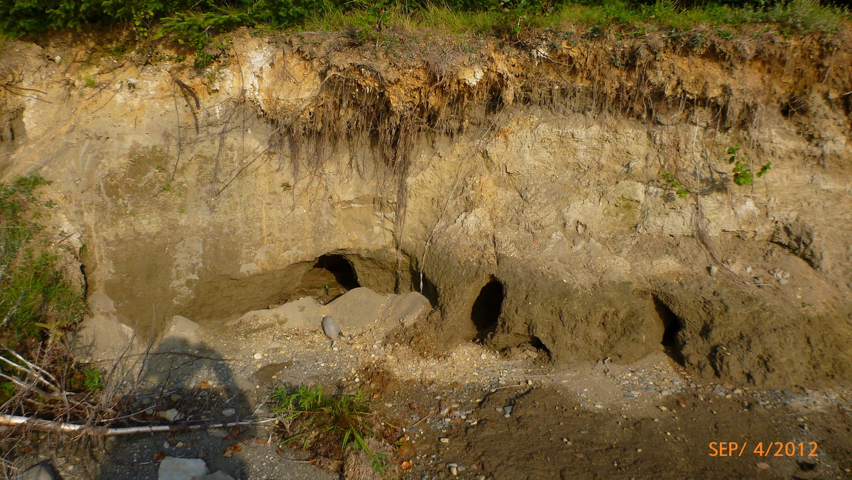
Burrows at High Bank 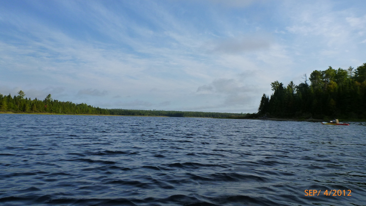
Heron Lake 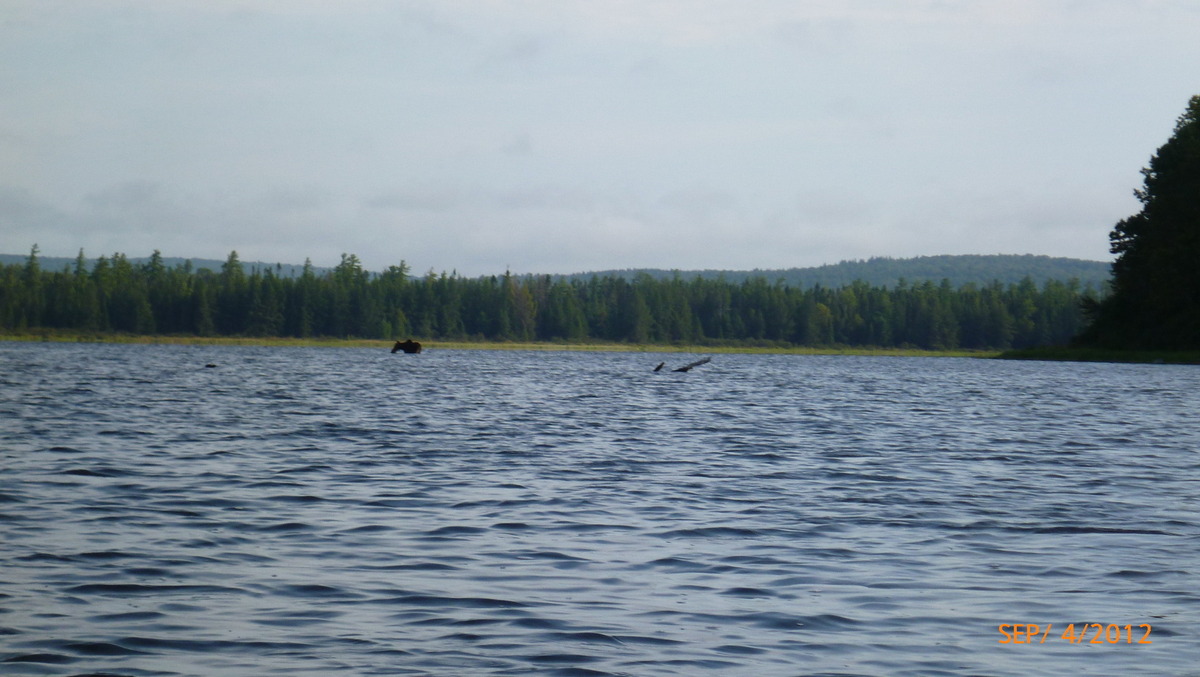
Moose at Heron Lake 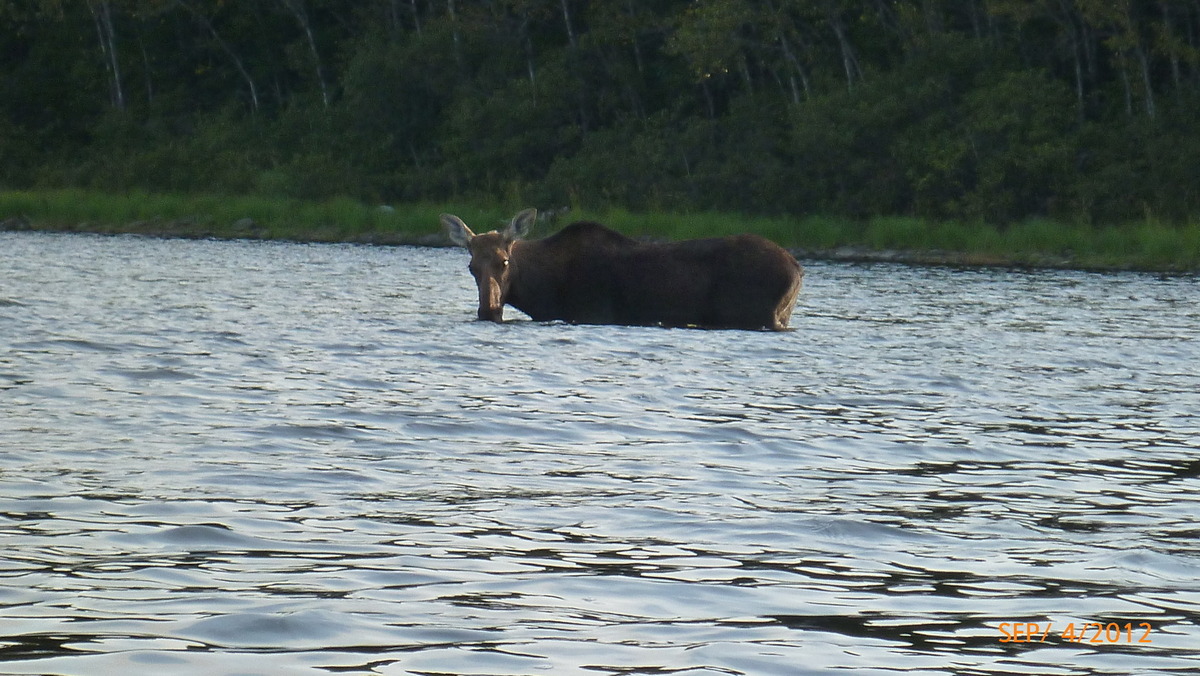
Moose looking at us 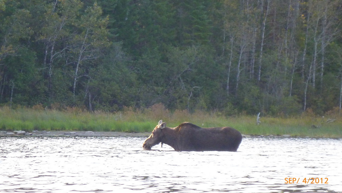
Passing the Moose 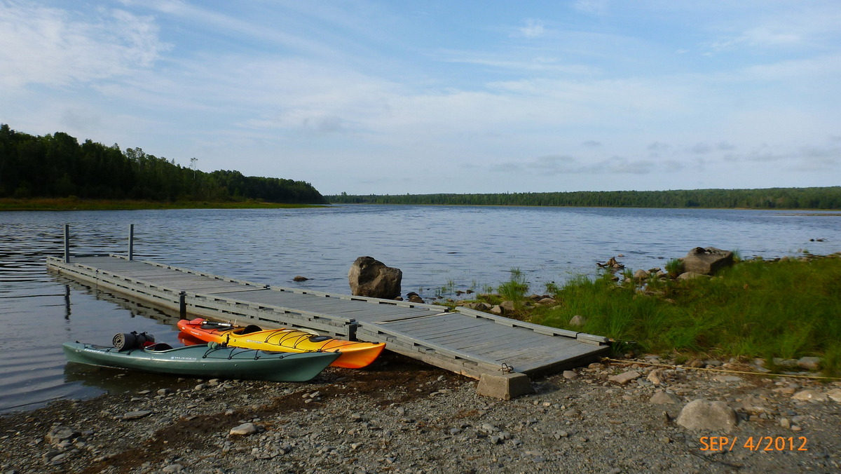
Dock at Churchill Dam 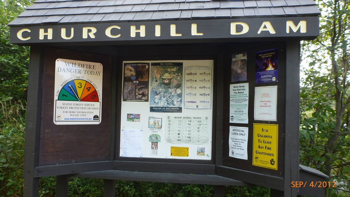
Churchill Dam information 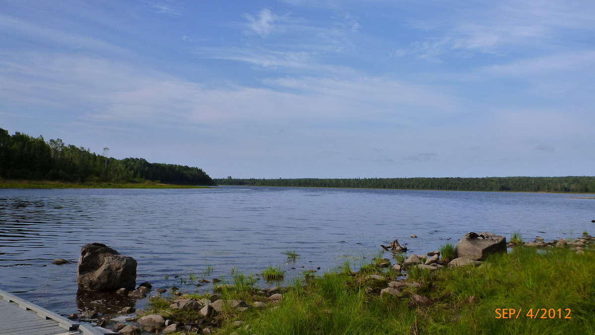
End of Heron Lake 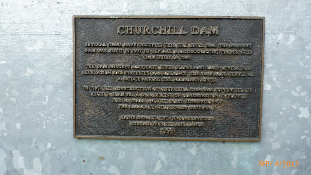
Churchill Dam plaque 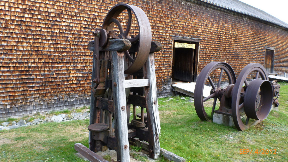
Churchill Depot History Center 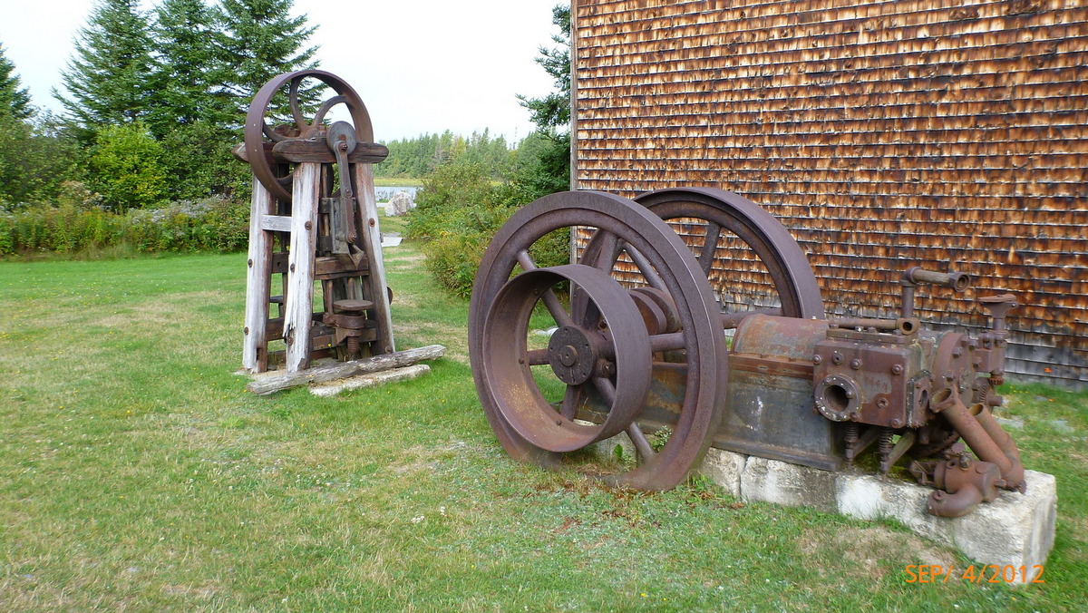
Equipment 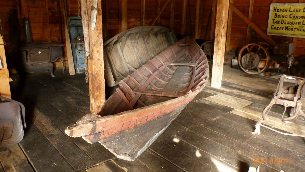
Old boat 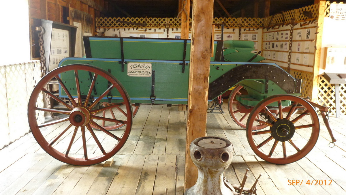
Wagon 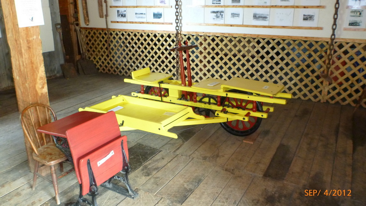
cart 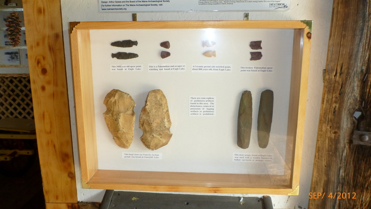
Artifacts 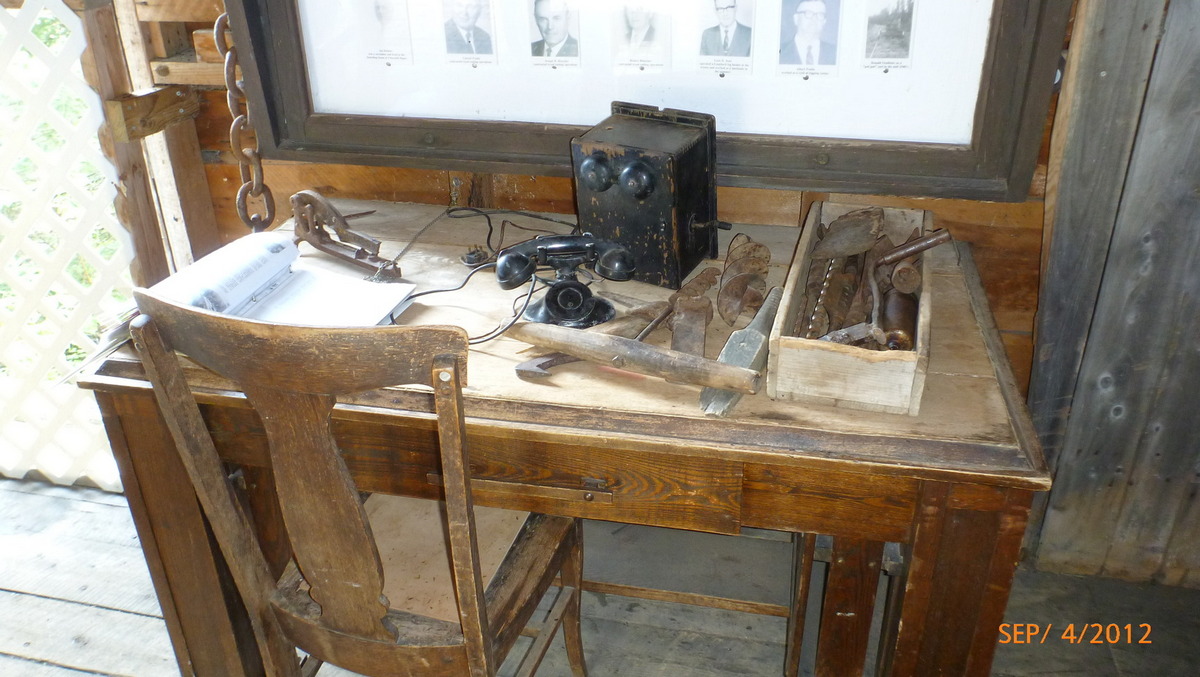
Old tools 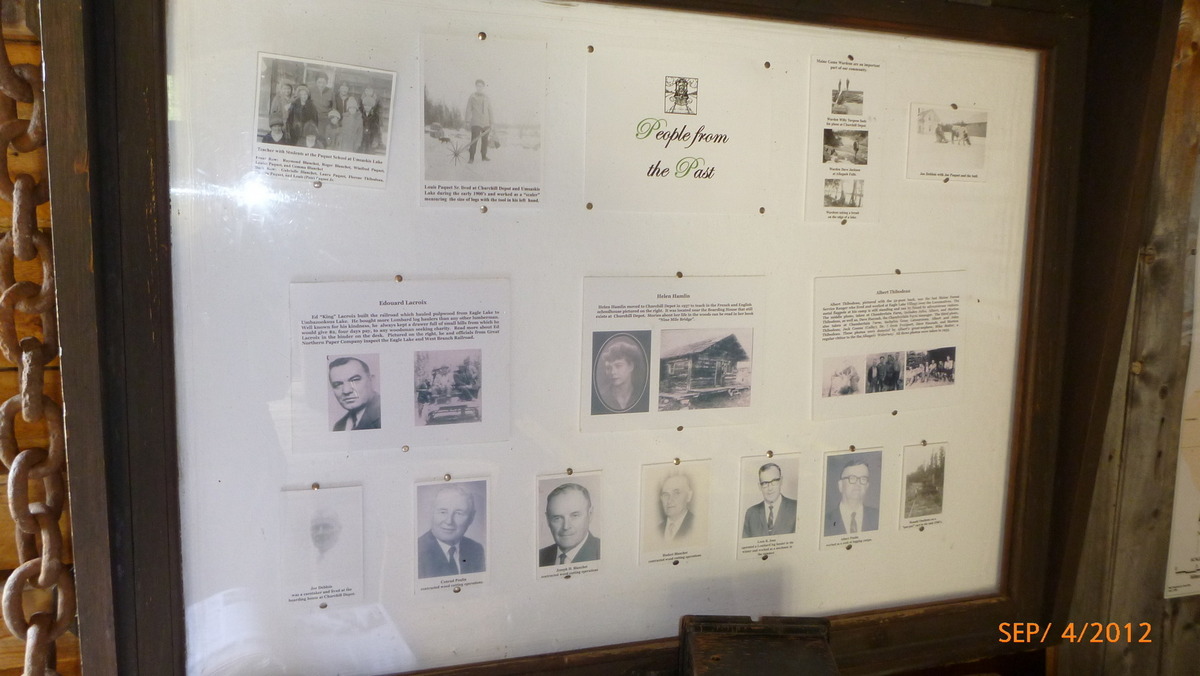
People from the past 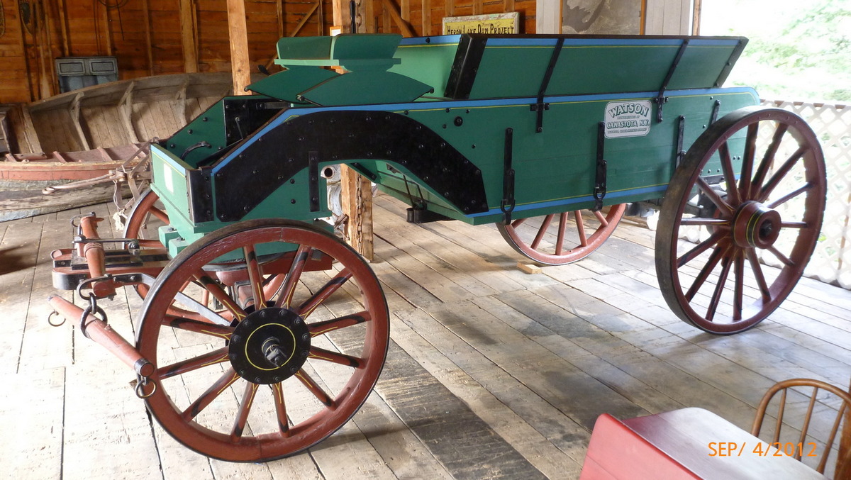
Watson Wagon 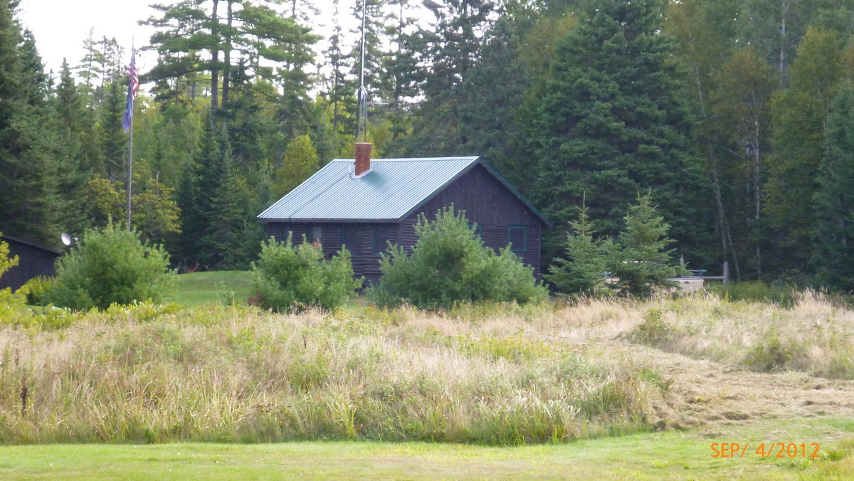
Ranger Station 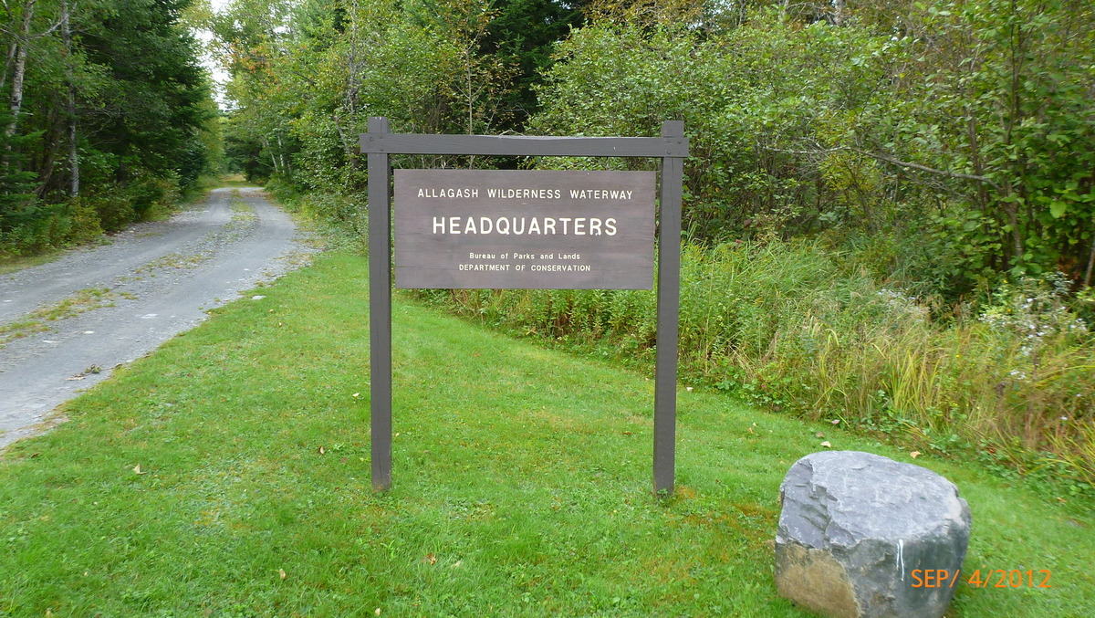
Allagash Headquarters 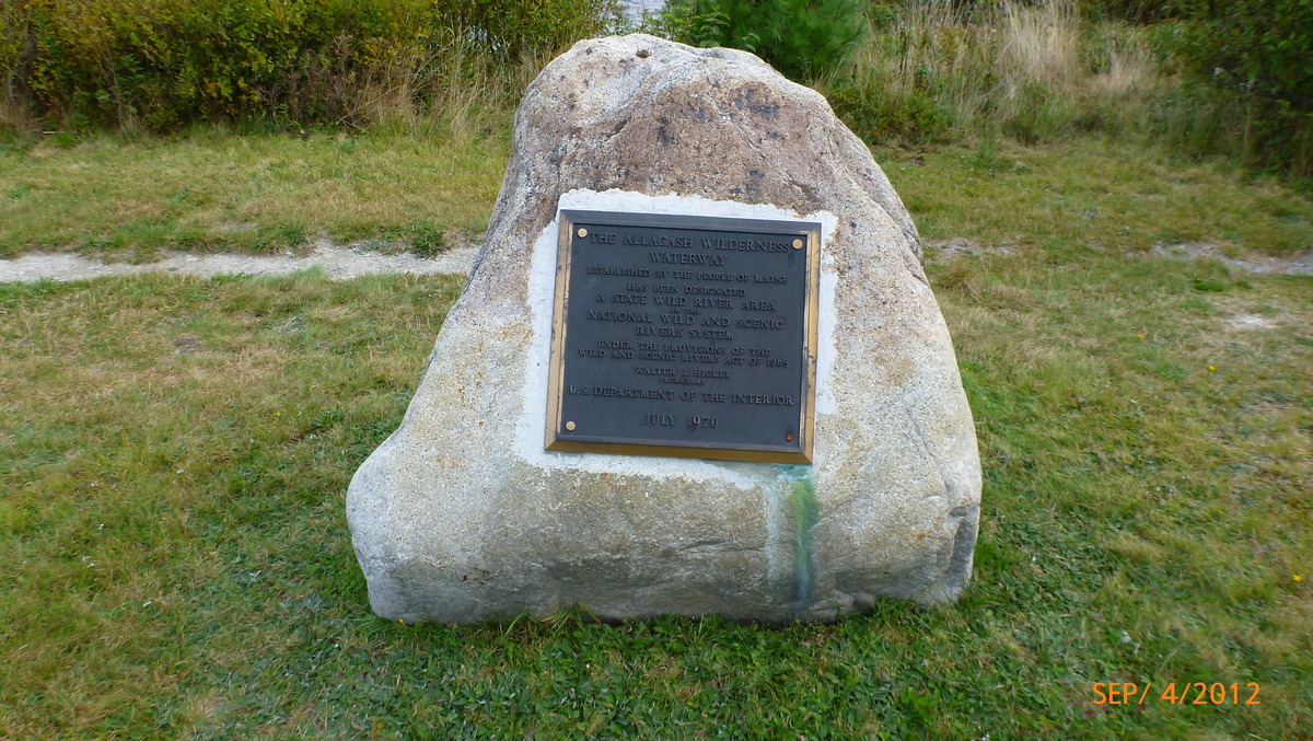
Waterway plaque 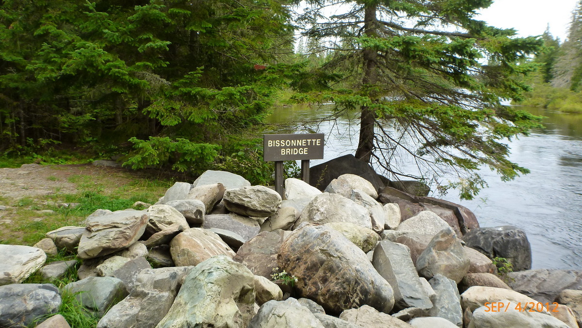
Bissonnette bridge gear pickup 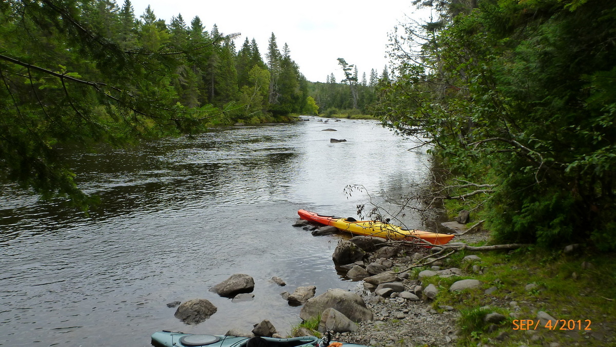
End of the rapids 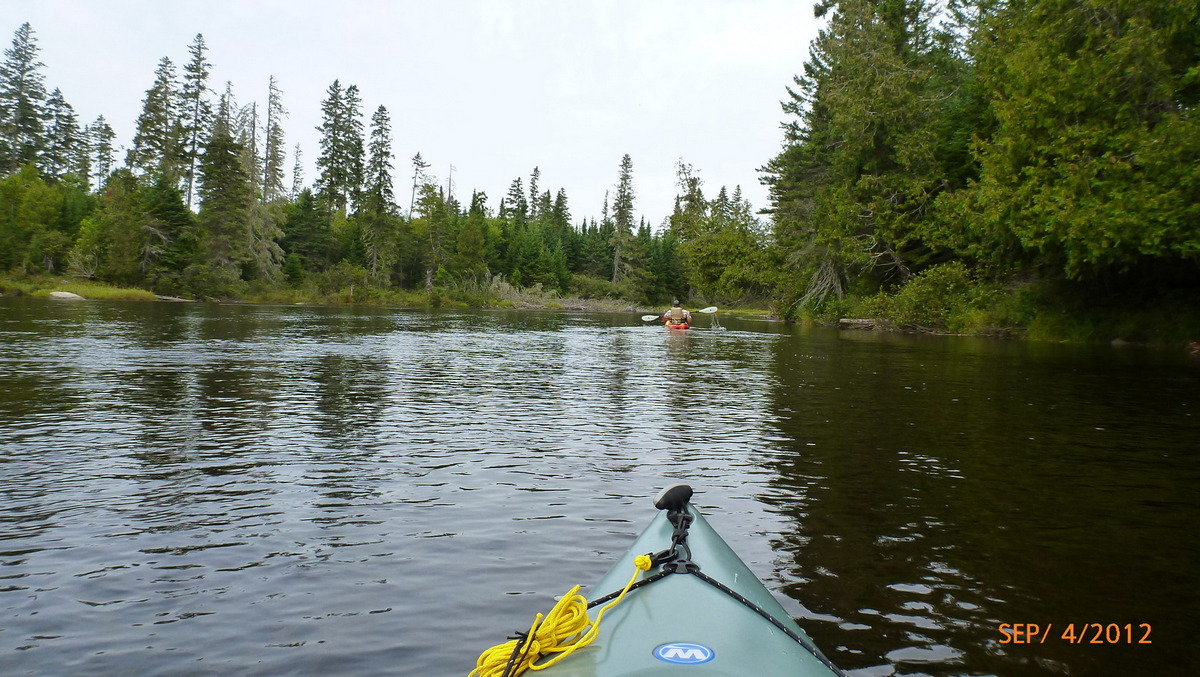
Bill headed out 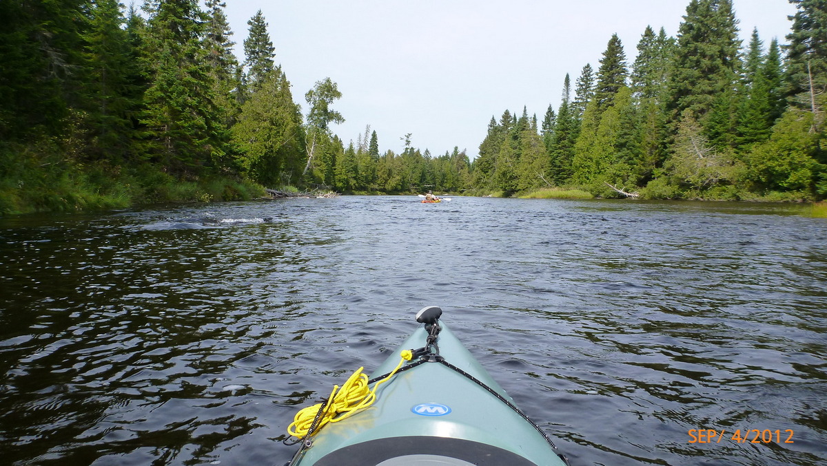
Starting the Allagash 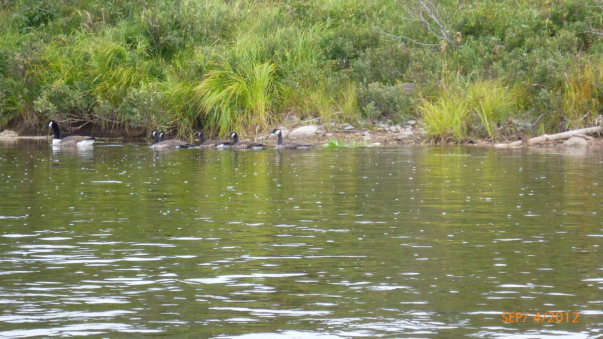
Ducks 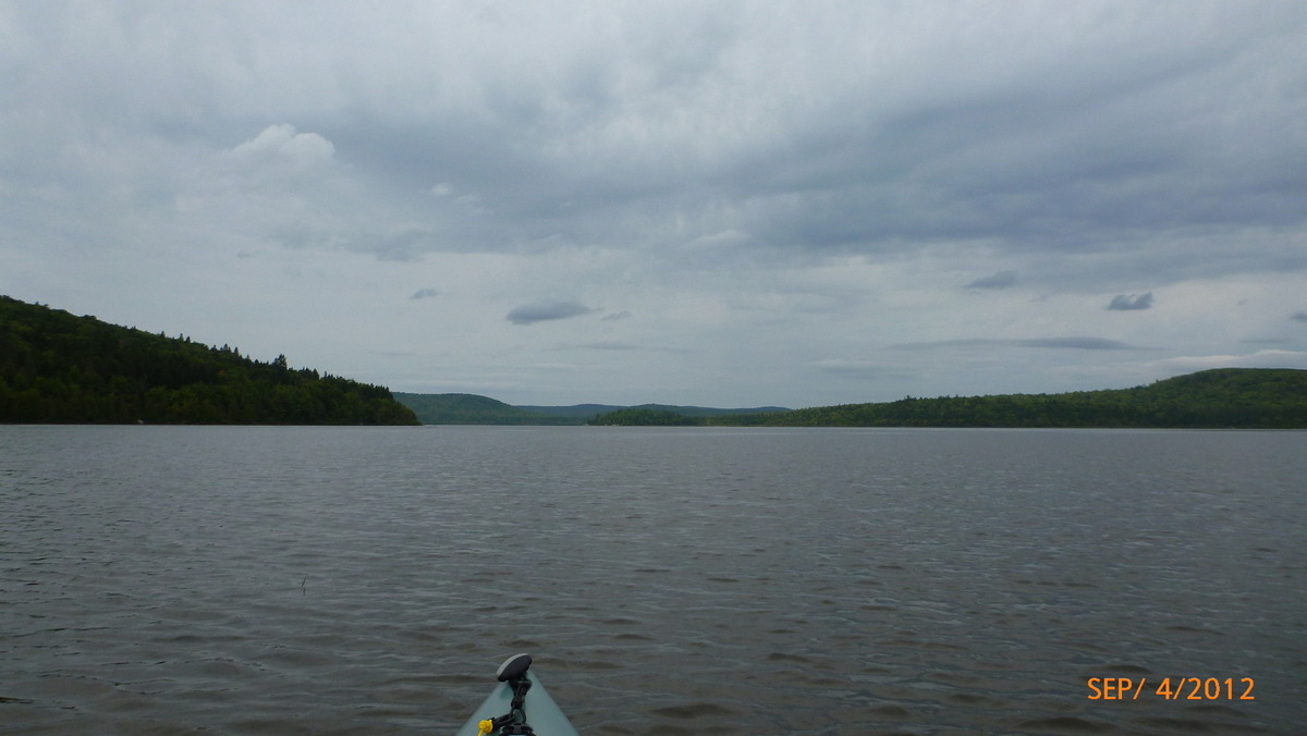
Umsaskis Lake 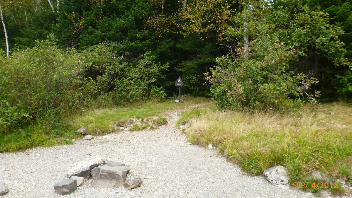
Ledges campsite 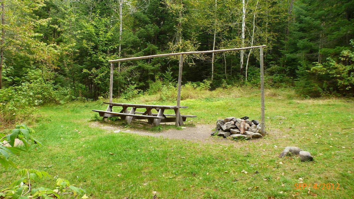
Ledges Campsite tables 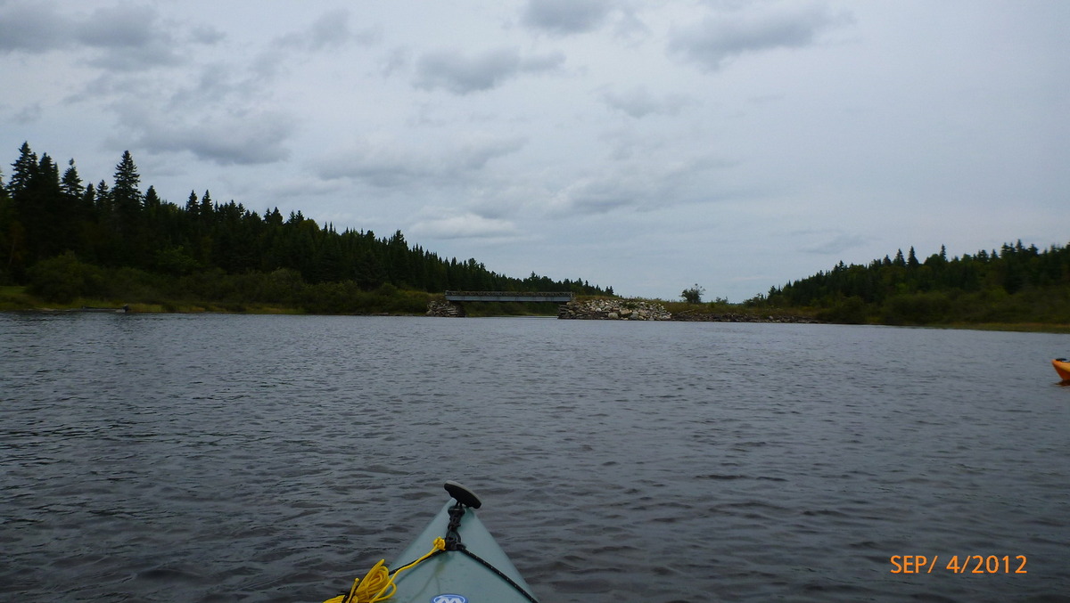
End of Umsaskis lake 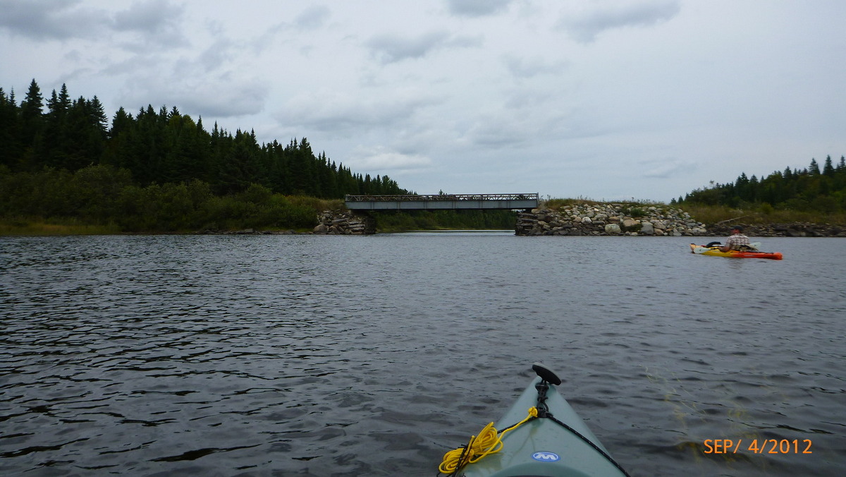
American Realty Road Bridge 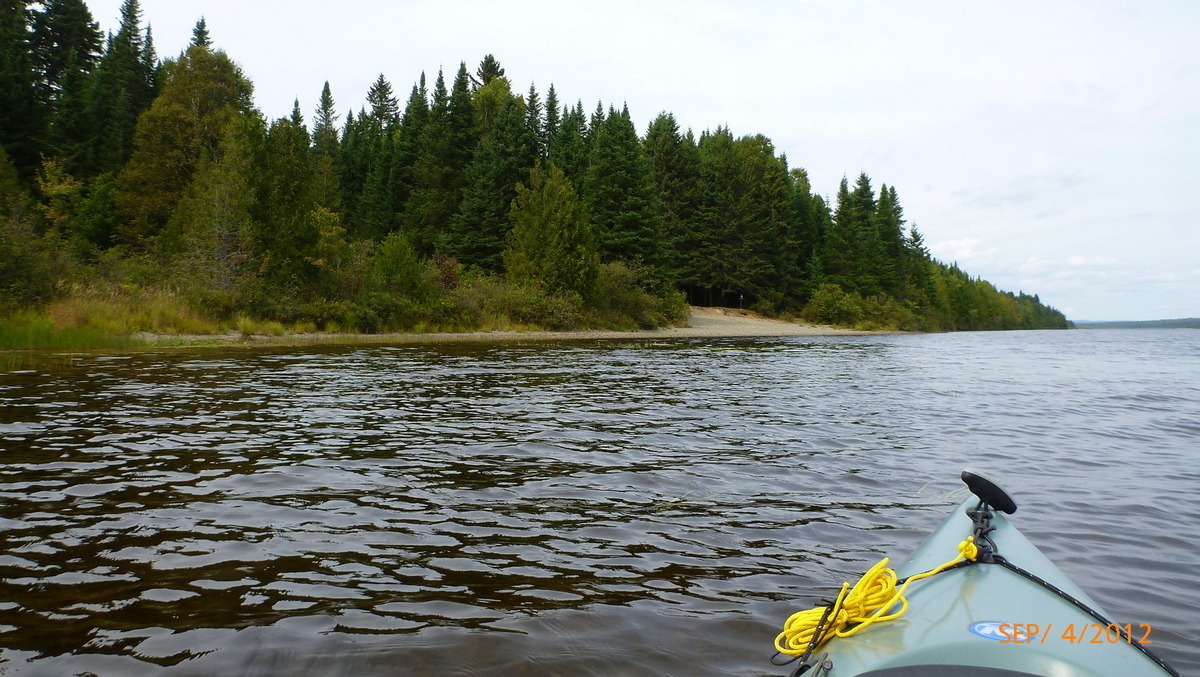
Coming up on Grey Brook Campsite 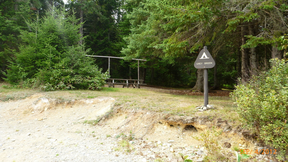
Grey Brook Campsite night 3 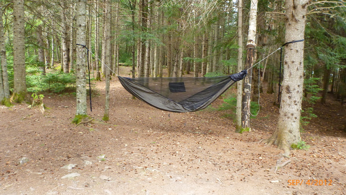
Dangerbird hammock at Grey Brook 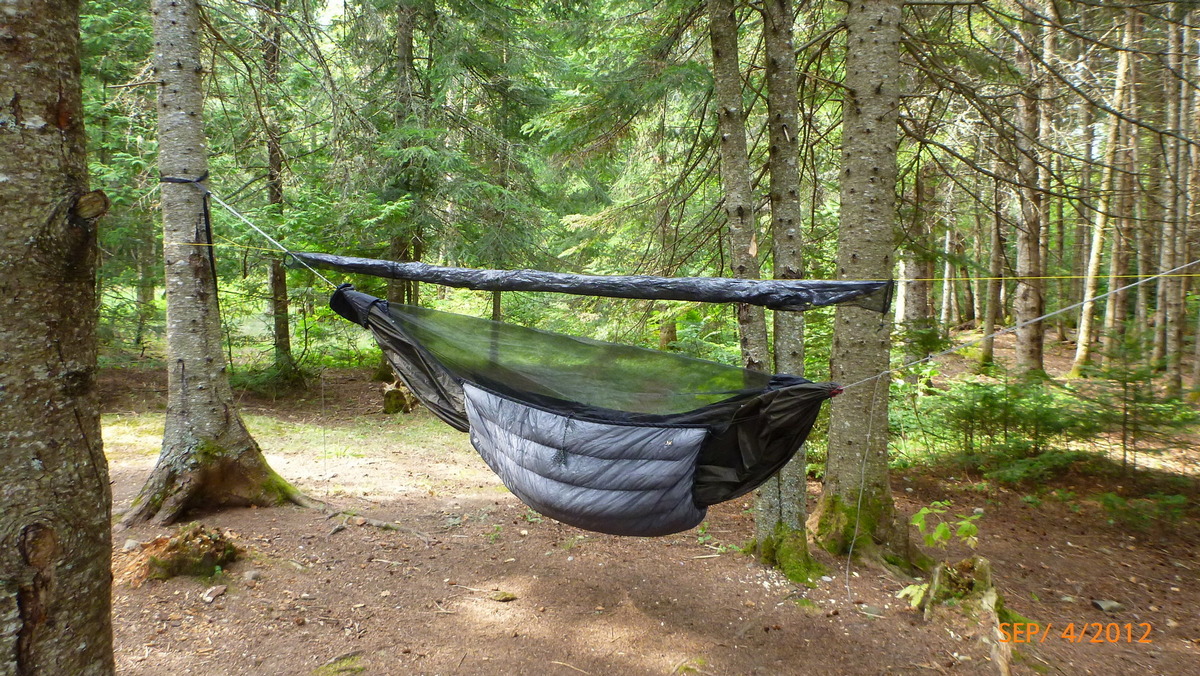
Quilts on and tarp hung 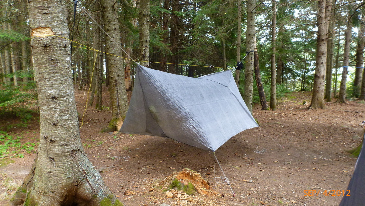
Hammock Gear Cuben tarp 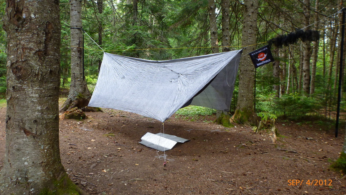
Hammock Gear tarp covering 11 foot Dangerbird 
Long lake from Grey Brook site 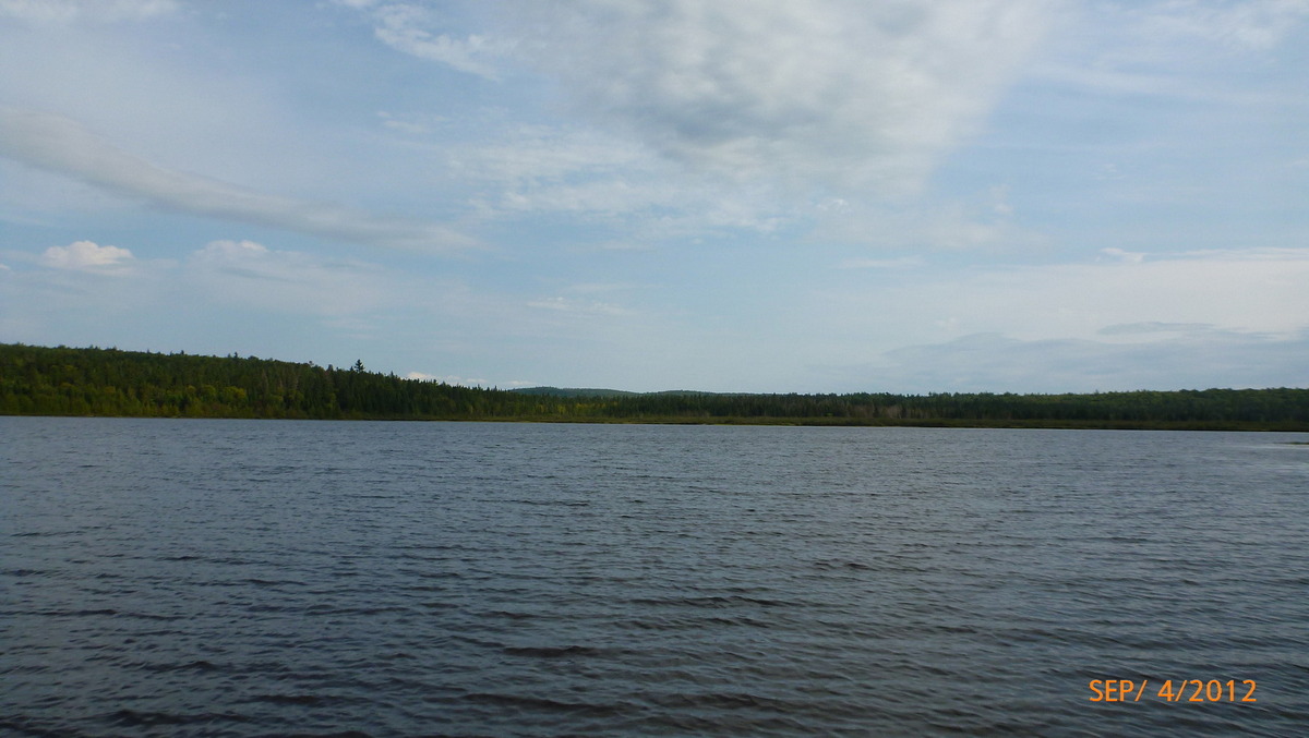
View from Grey Brook 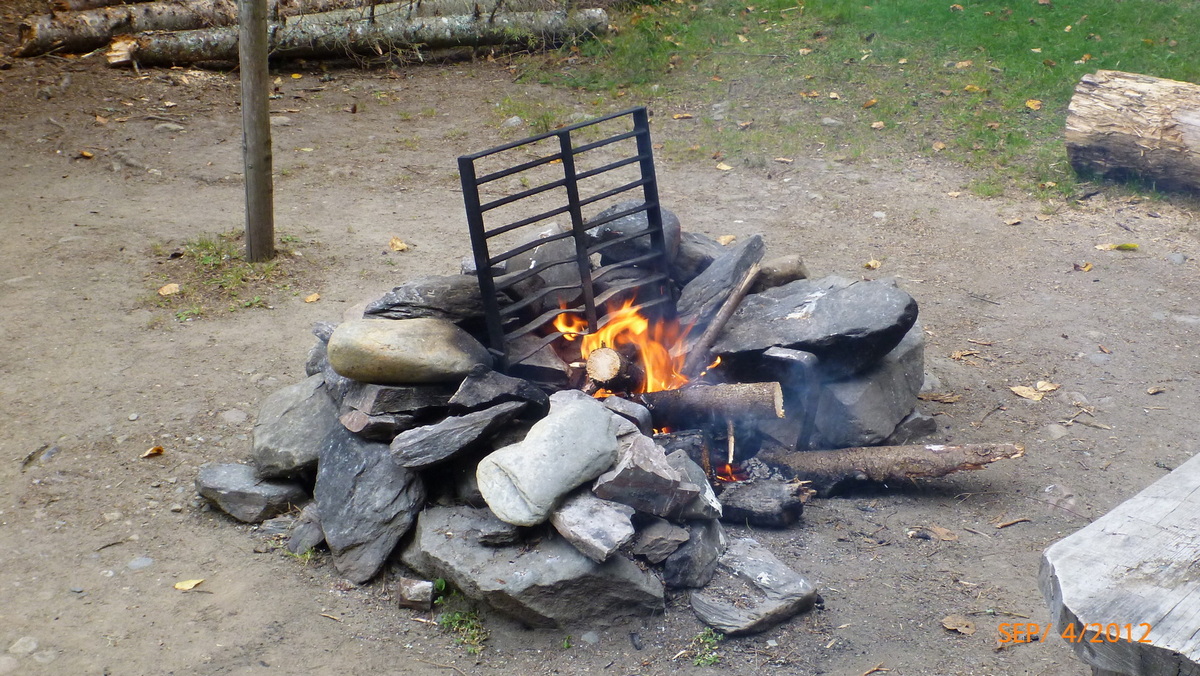
Fire at Grey Brook 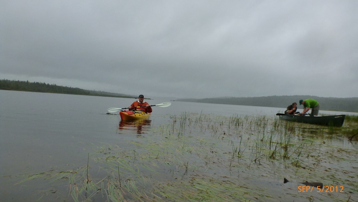
Wet morning on Long Lake 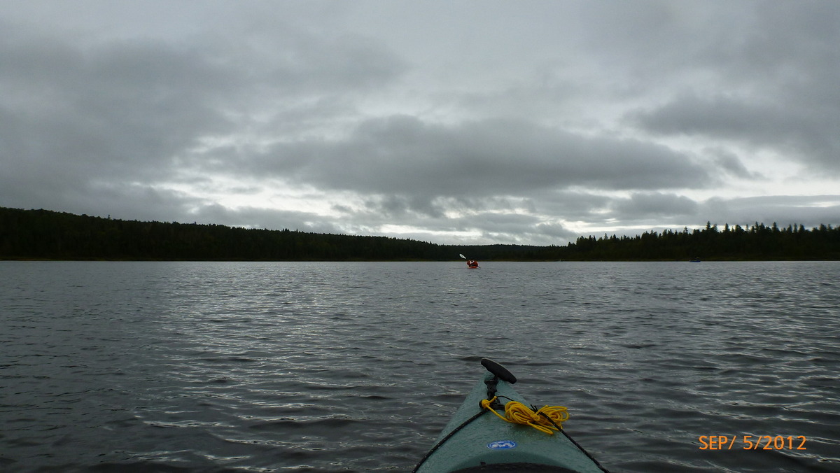
Harvey pond 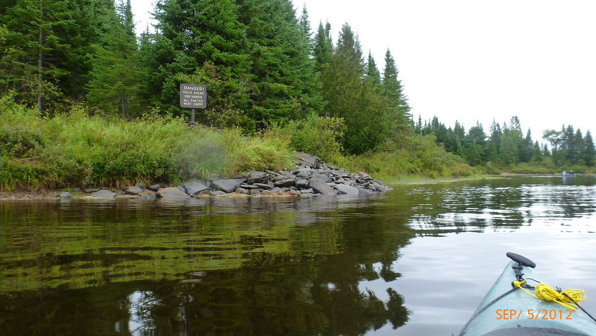
Long Lake Falls 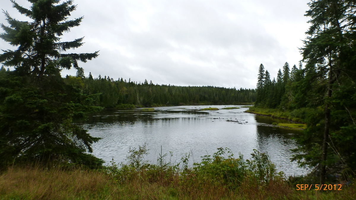
Around the dam and back into Allagash river 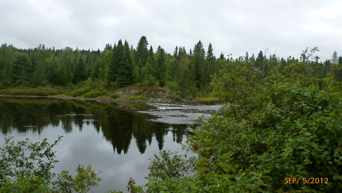
Long Lake Dam 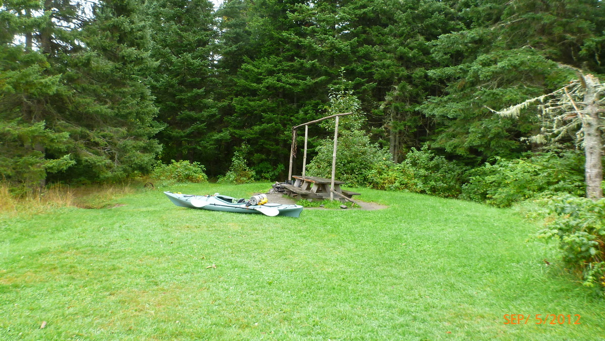
Second Portage 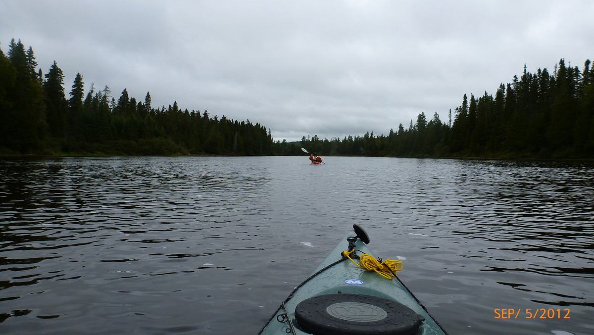
Slow moving river 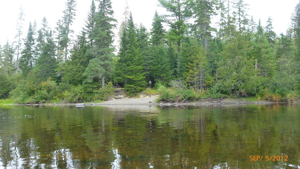
Sweeney Brook Campsite 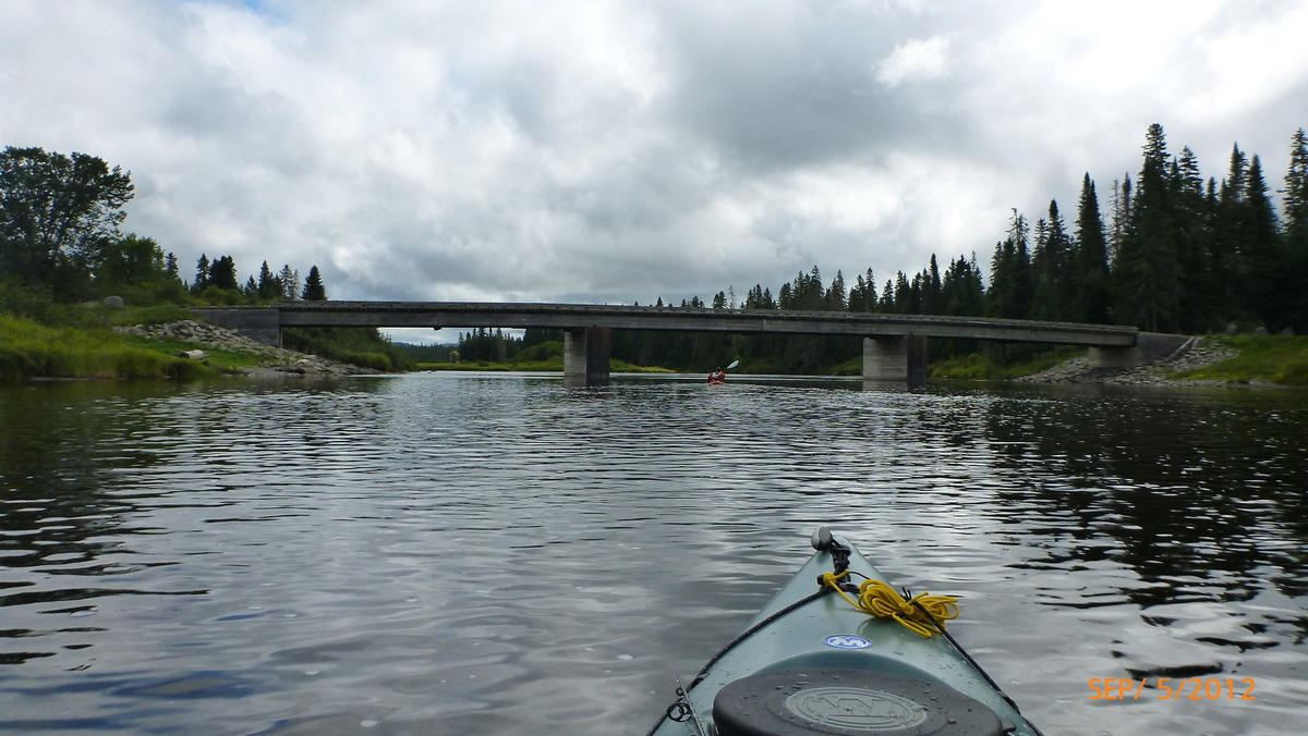
Henderson Bridge 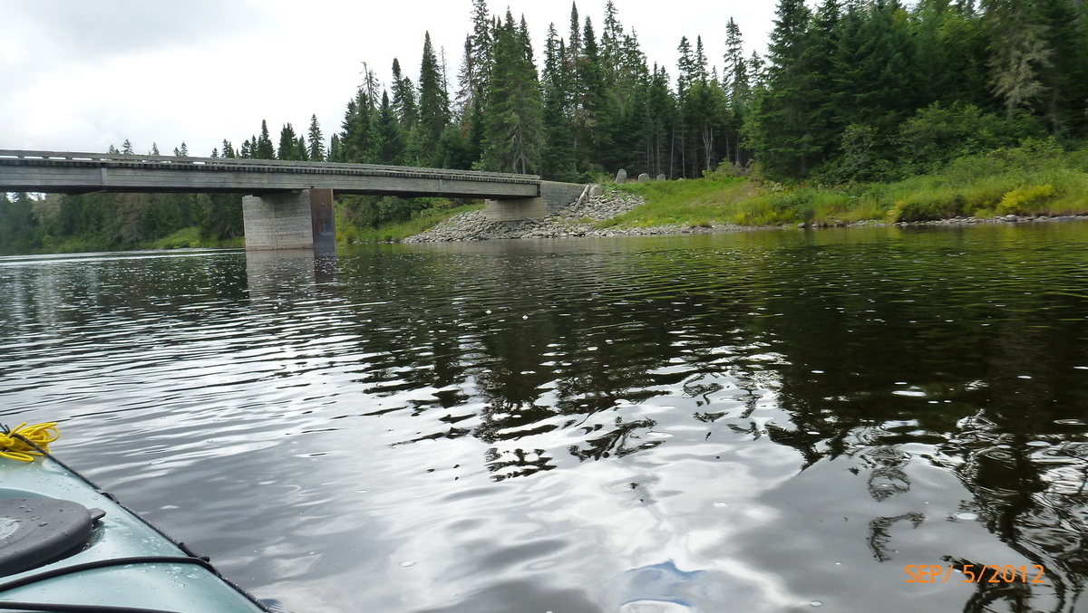
Headed under Henderson Bridge 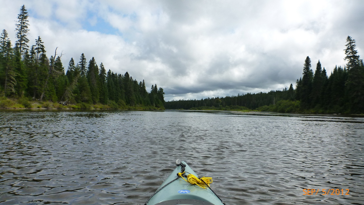
More river before Round Pond 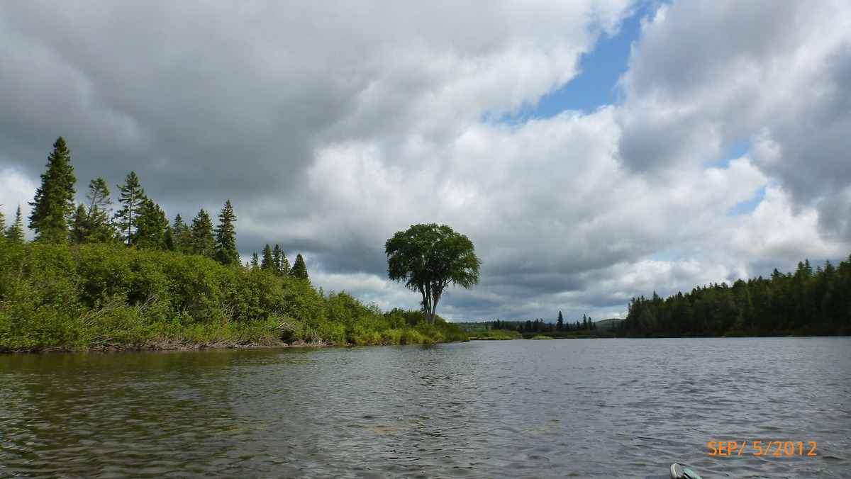
Take a left at the tree 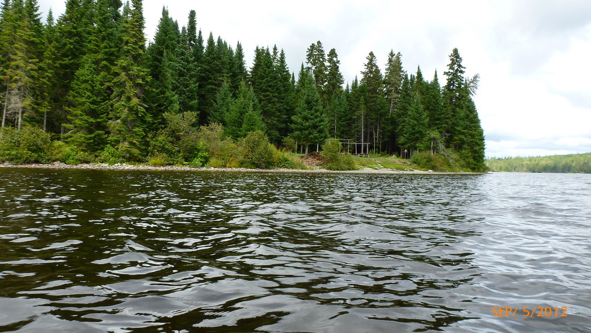
Inlet Campsite on Round Pond 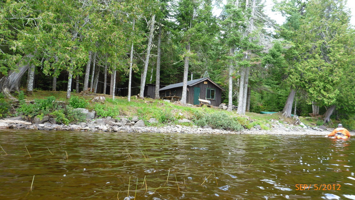
Round Pond Ranger Station 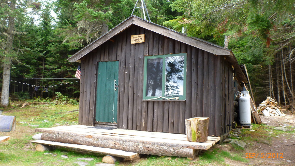
Ranger cabin 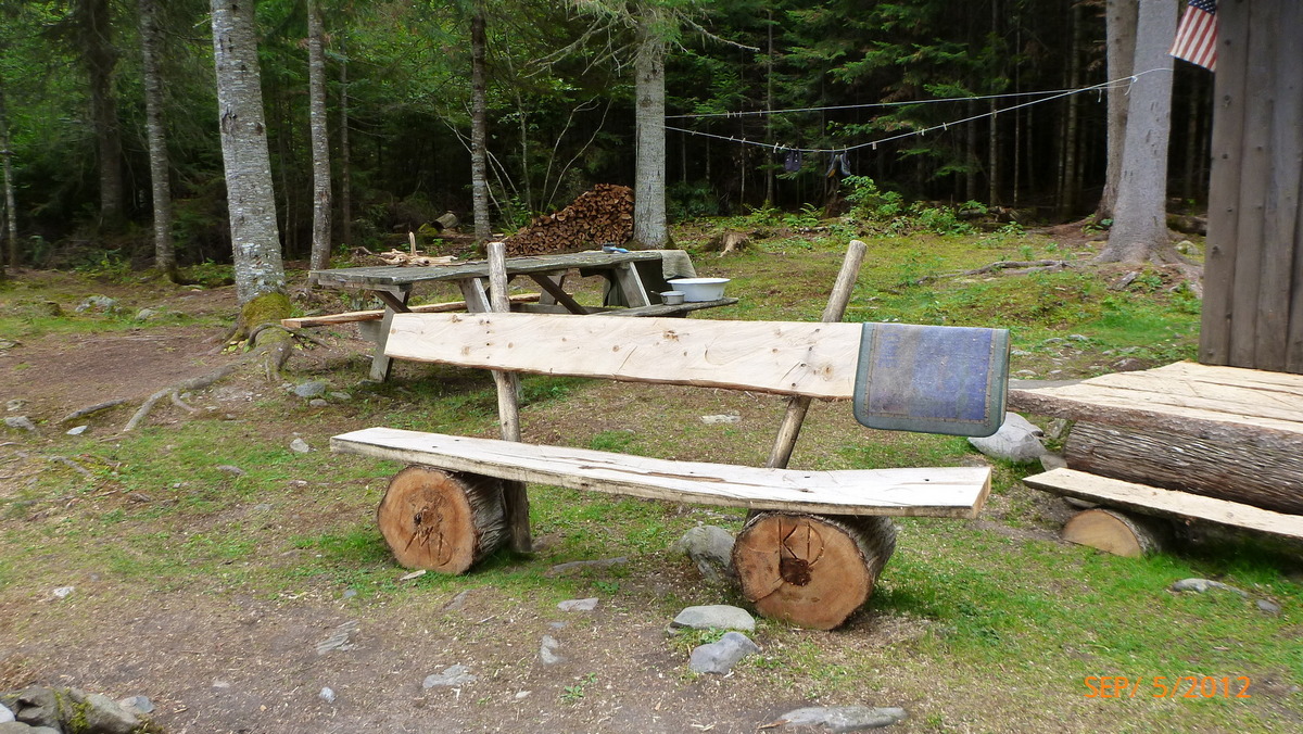
bench 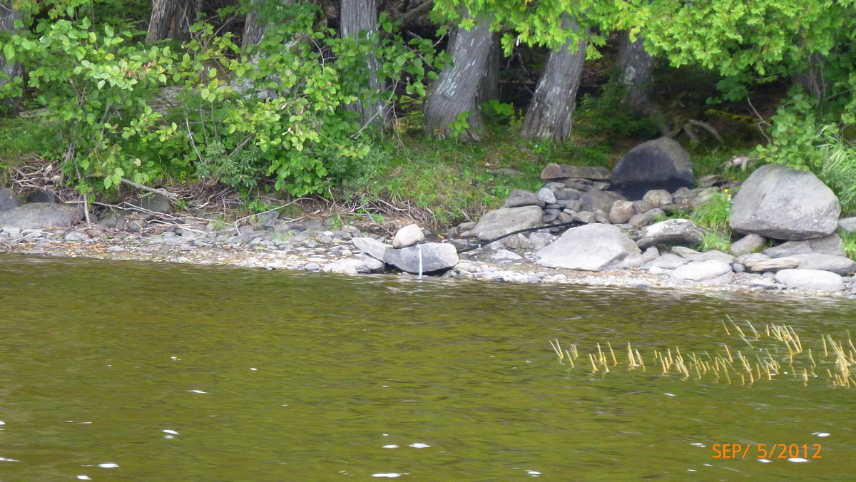
Water at Round Pond 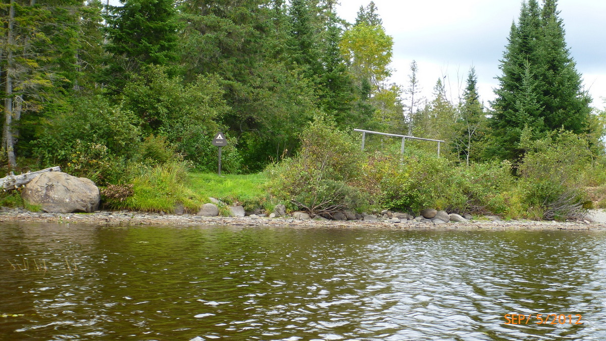
Outlet Campsite 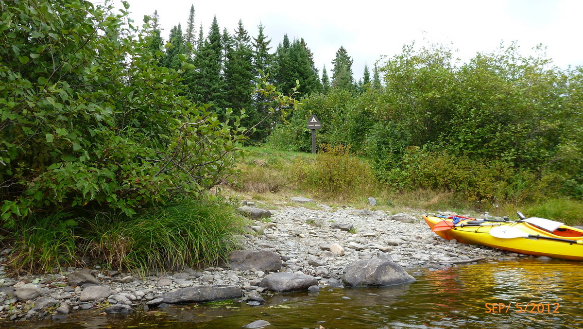
Croque Brook Campsite Night 4 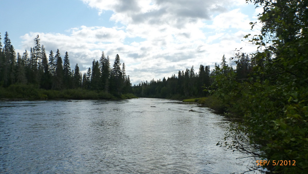
Upstream Croque Brook 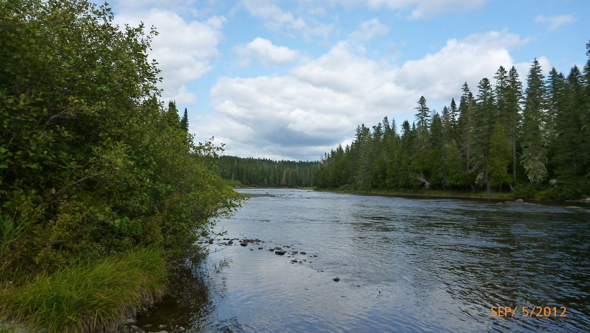
Down stream Croque Brook 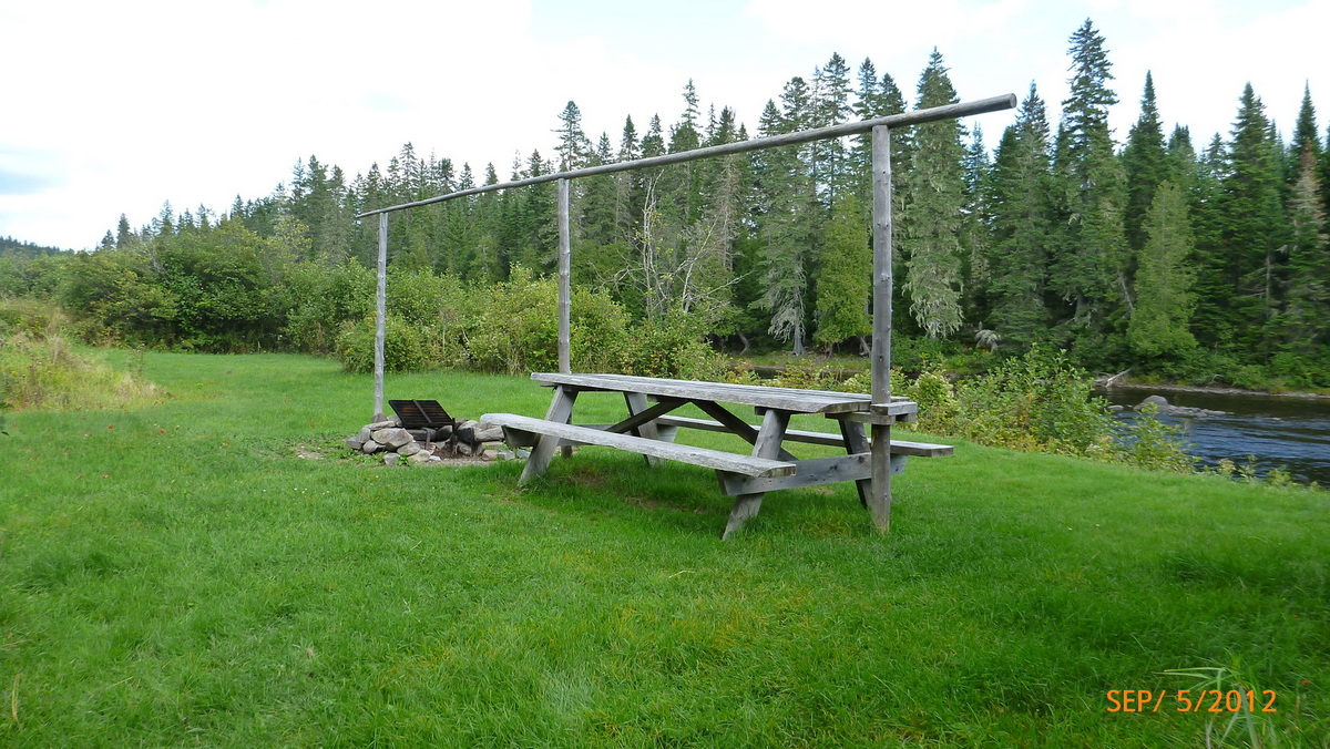
Second table at Croque Brook 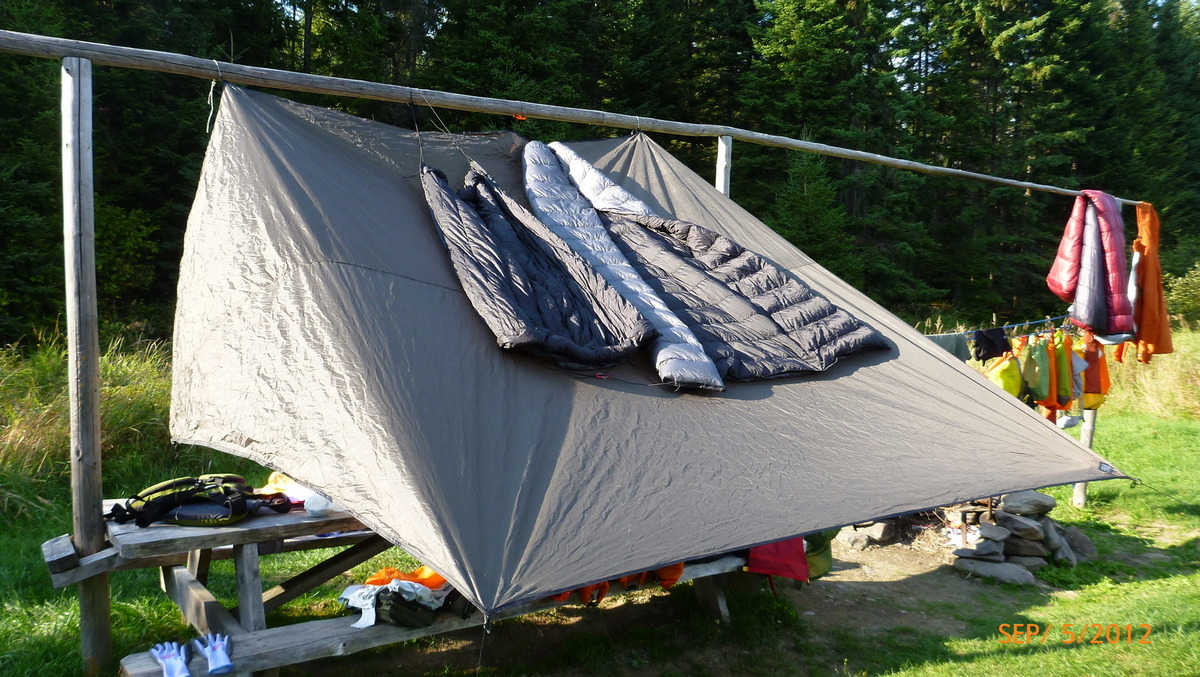
Drying the quilts and gear 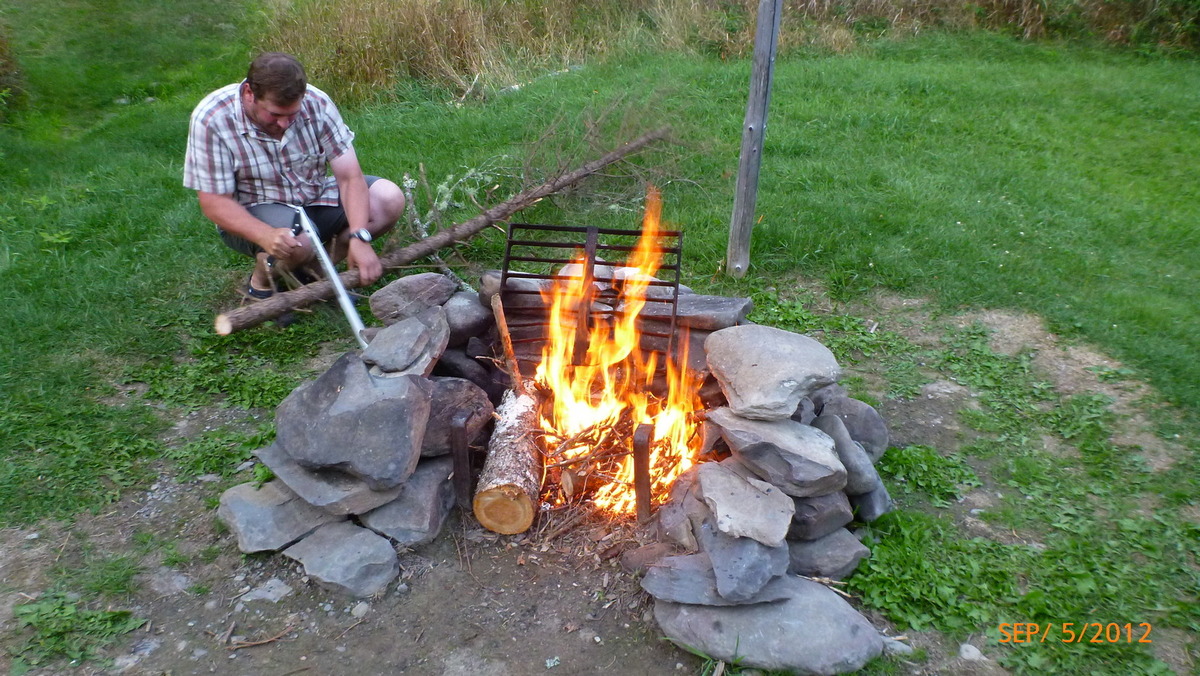
Bill likes to have a fire 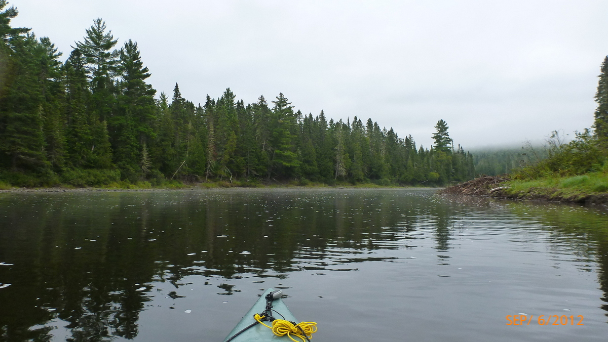
Starting day 5 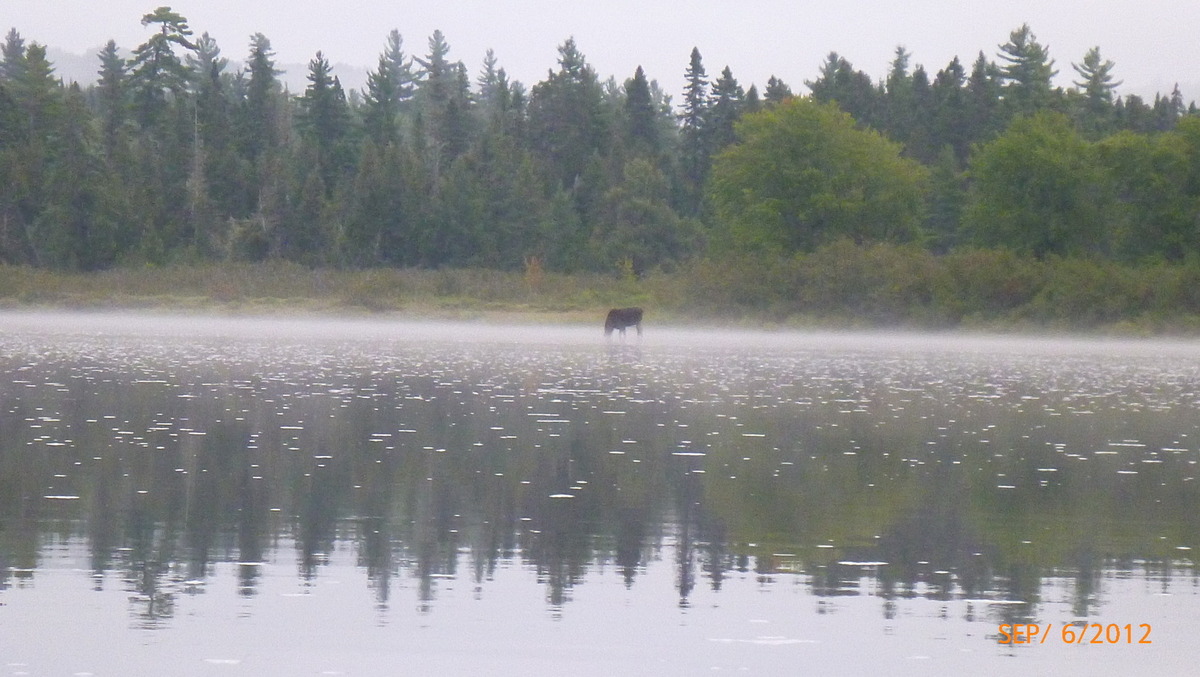
First moose on day 5 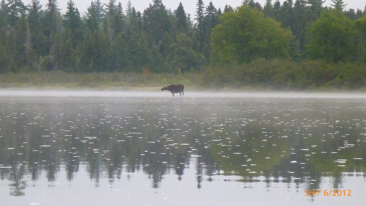
Moose eating 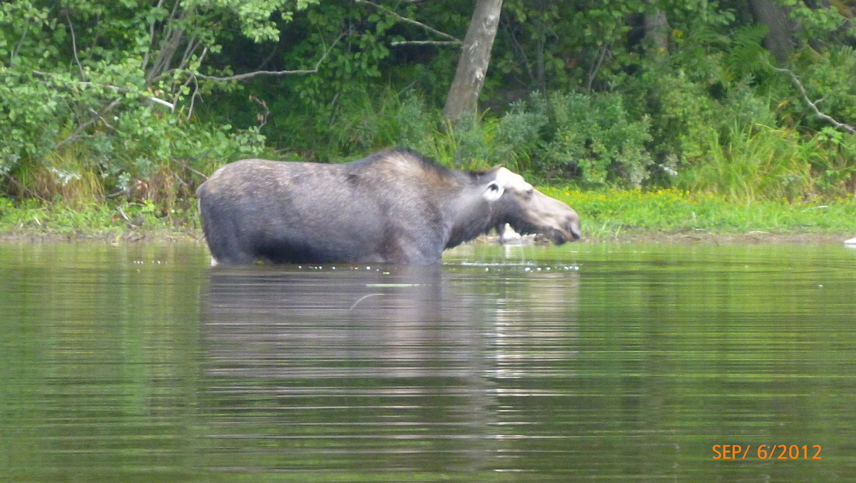
Second Moose day 5 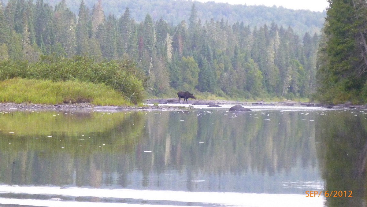
Two more moose 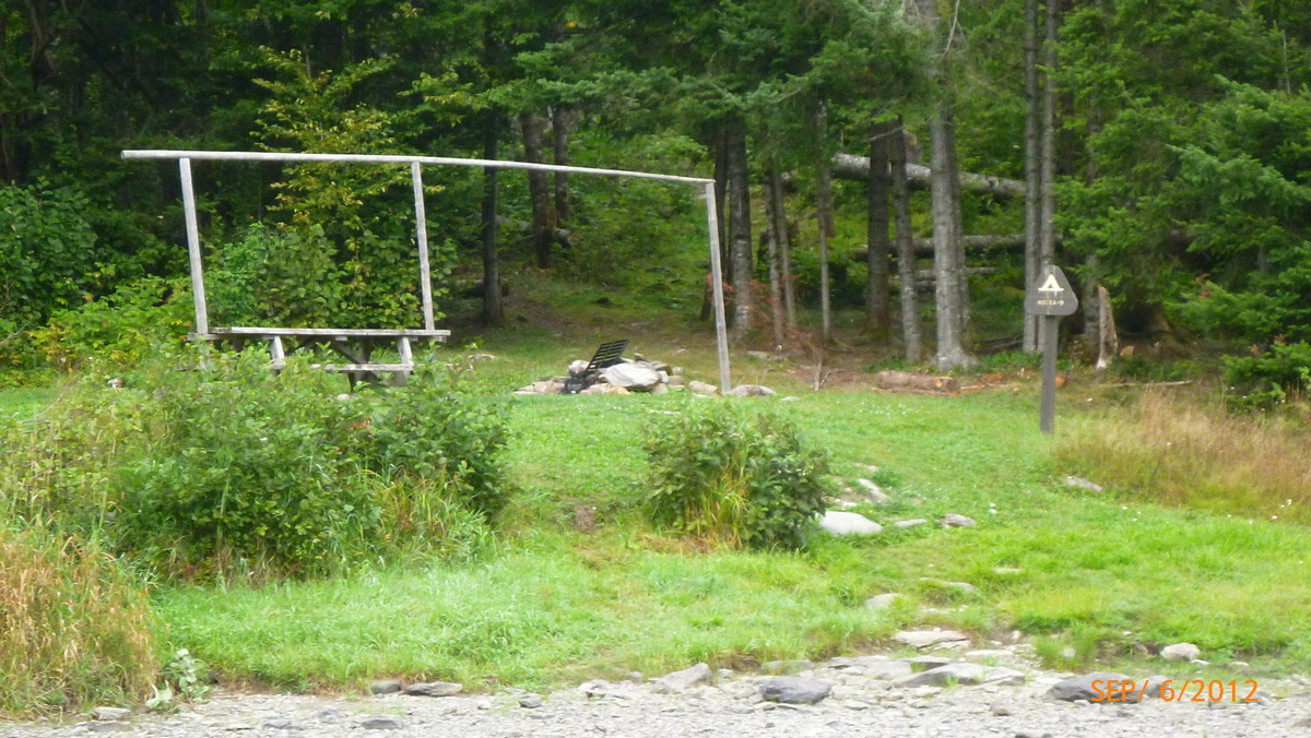
Hosea B Campsite 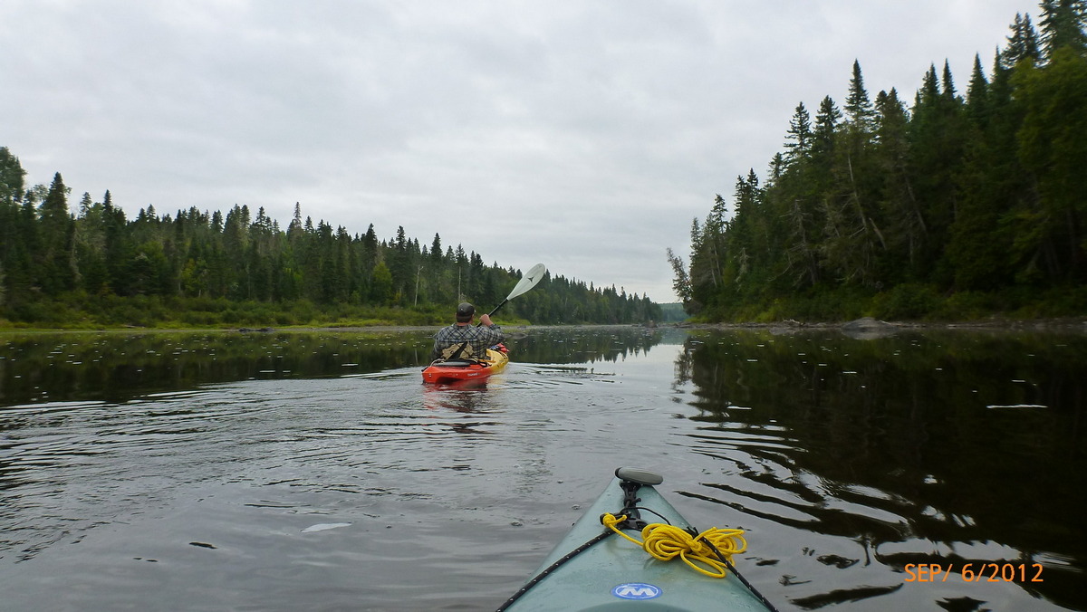
Back on the river 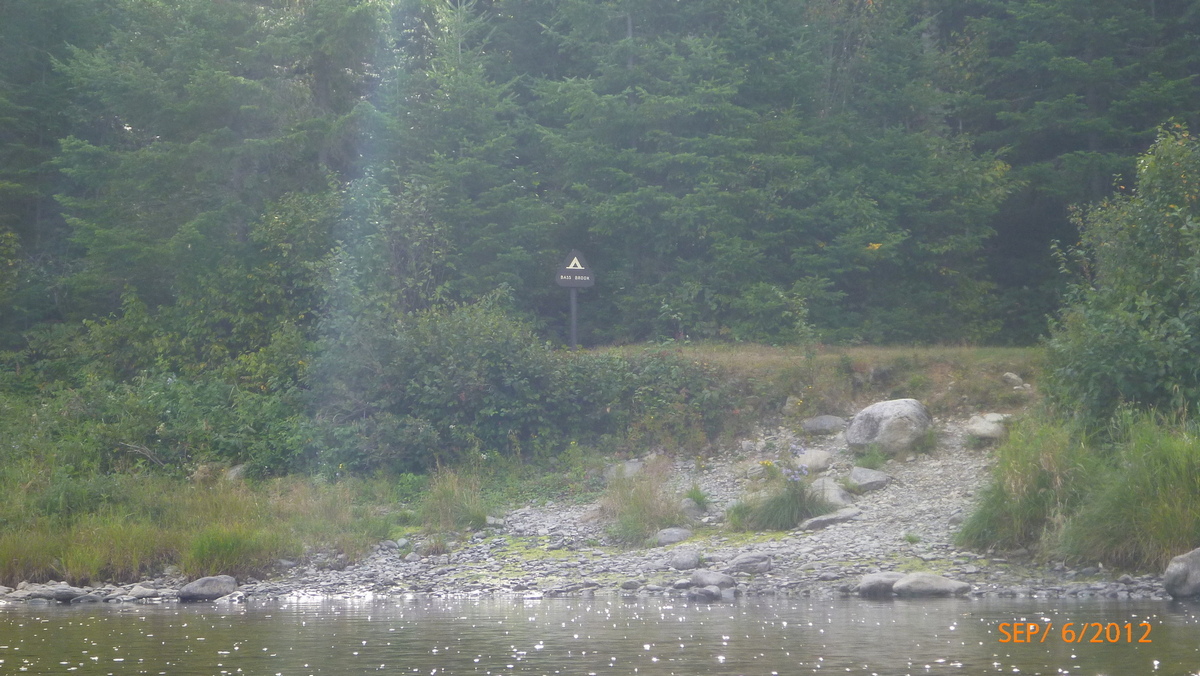
Bass Brook Campsite 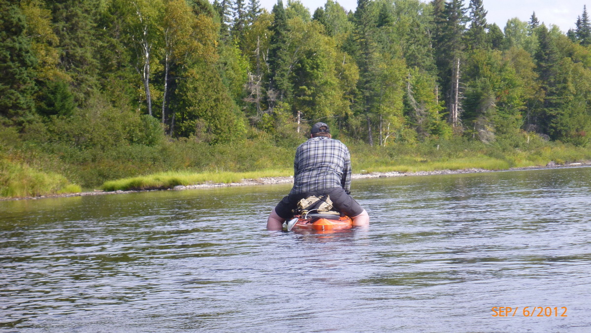
Rodeo style in the shallows 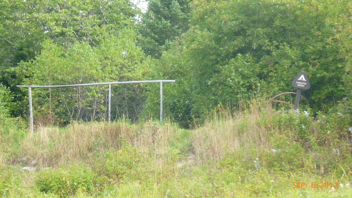
Cunliffe Depot Campsite 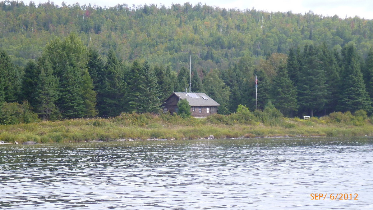
Michaud Farm ranger station 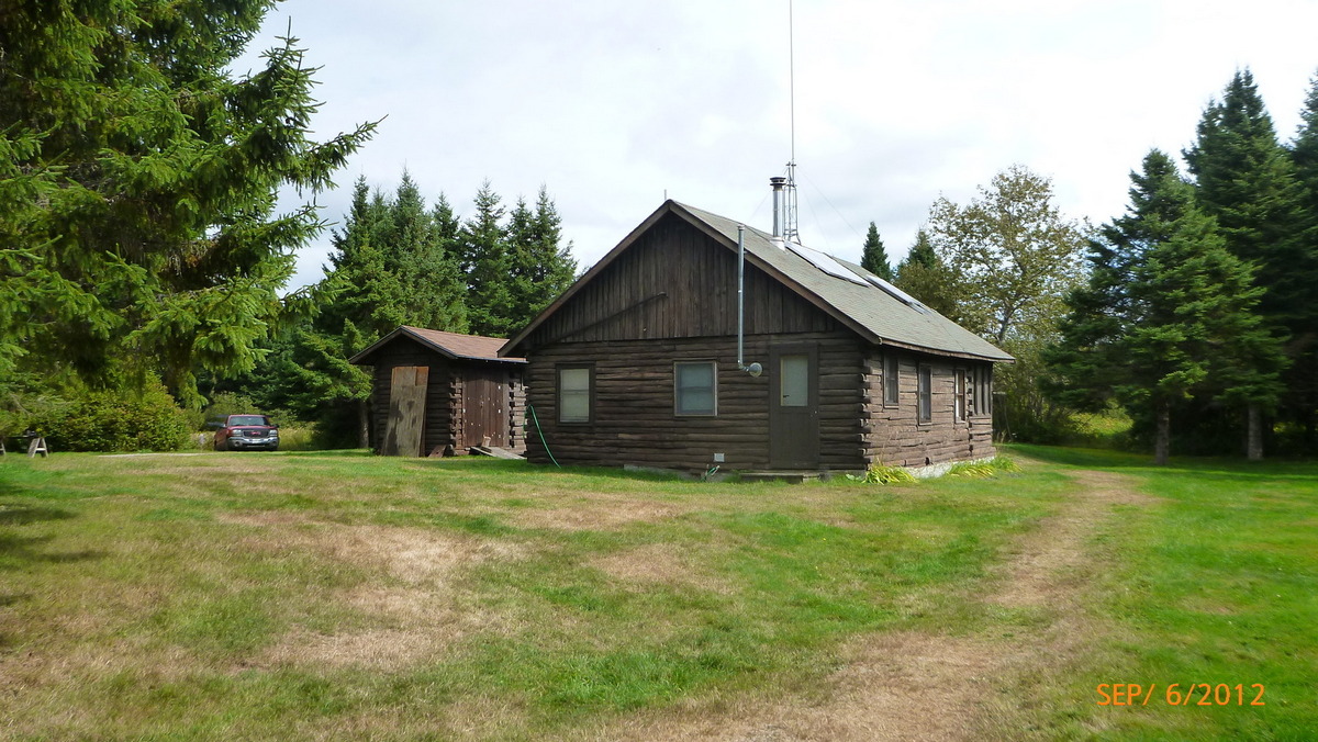
Ranger station Michaud Farm 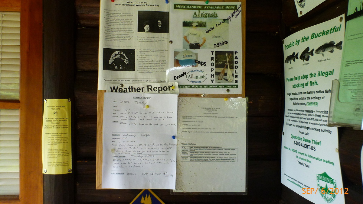
Weather reports 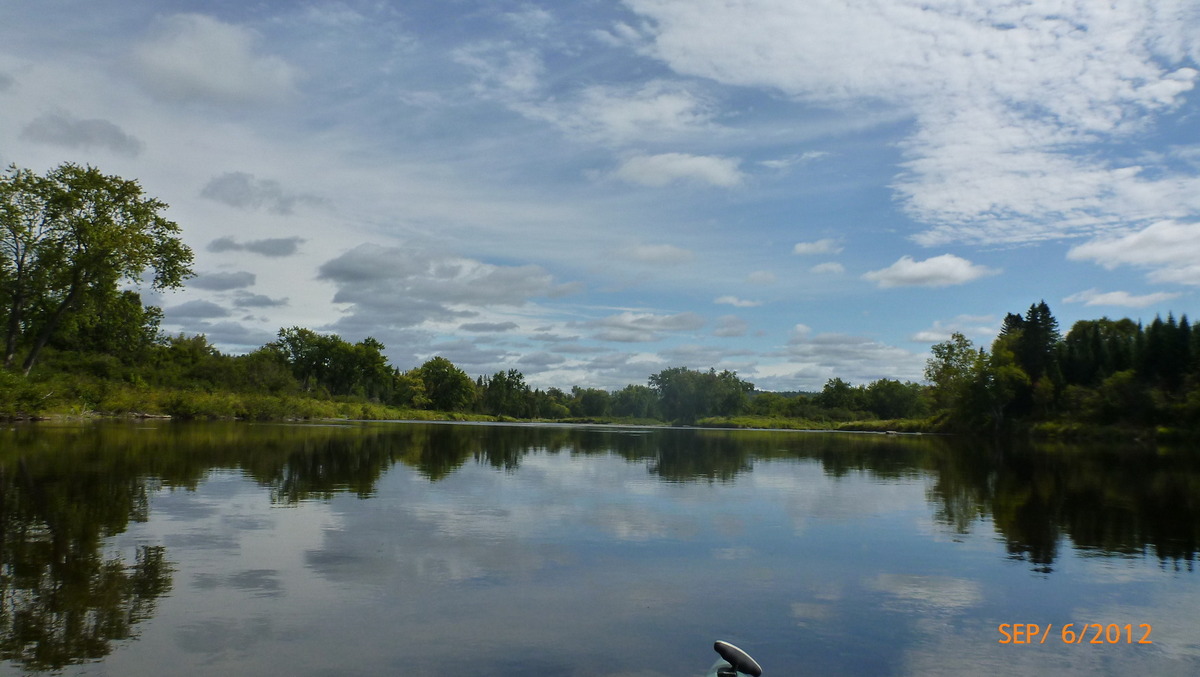
Calm river before the falls 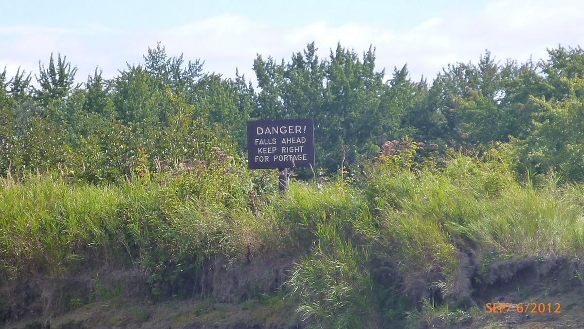
Danger sign 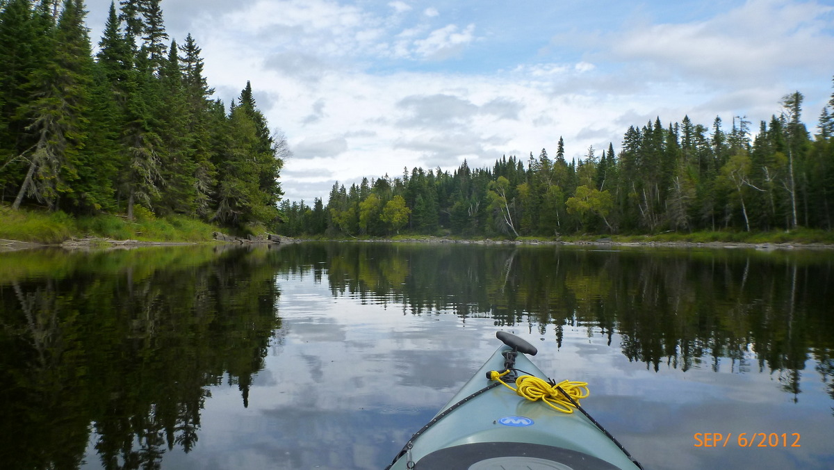
Portage landing on right 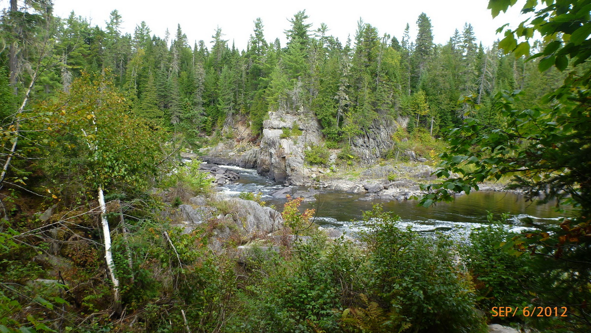
Below the falls 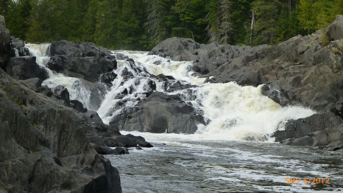
Falls close up 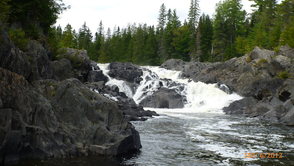
The falls 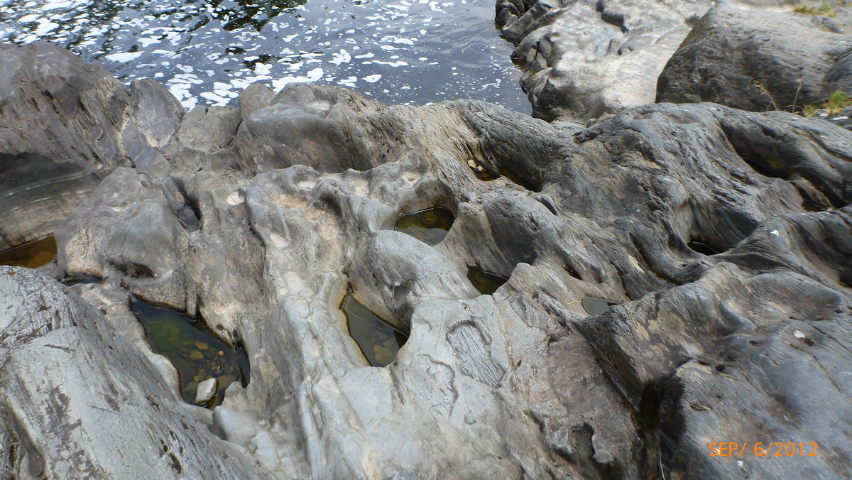
Worn rocks 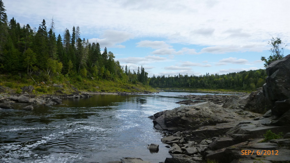
River below the falls 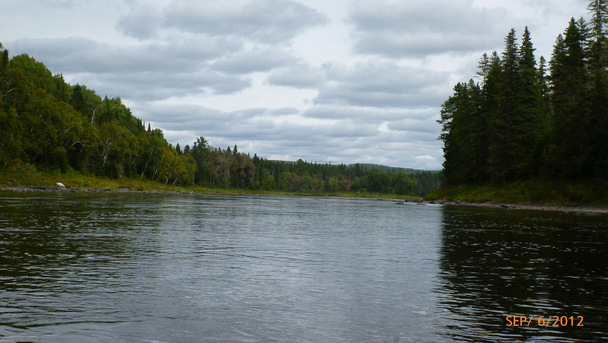
Allagash river after the falls 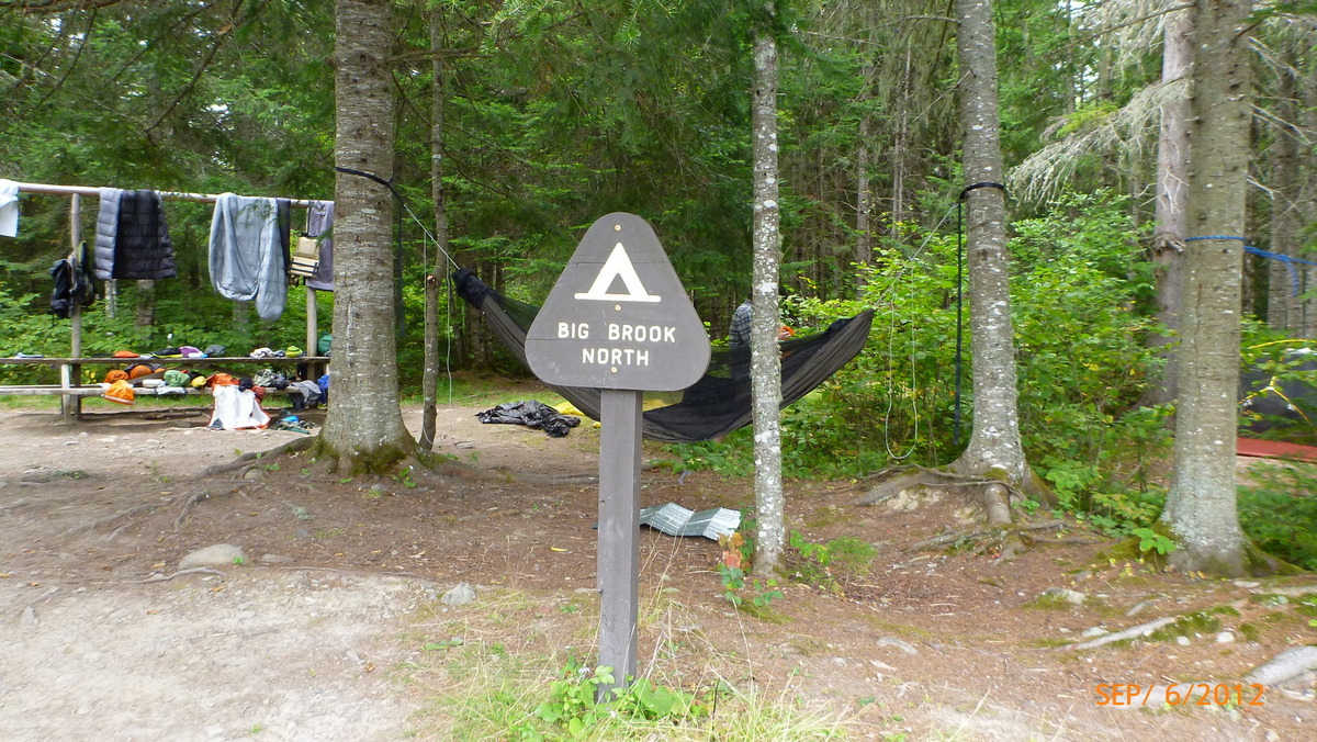
Big Brook North Campsite 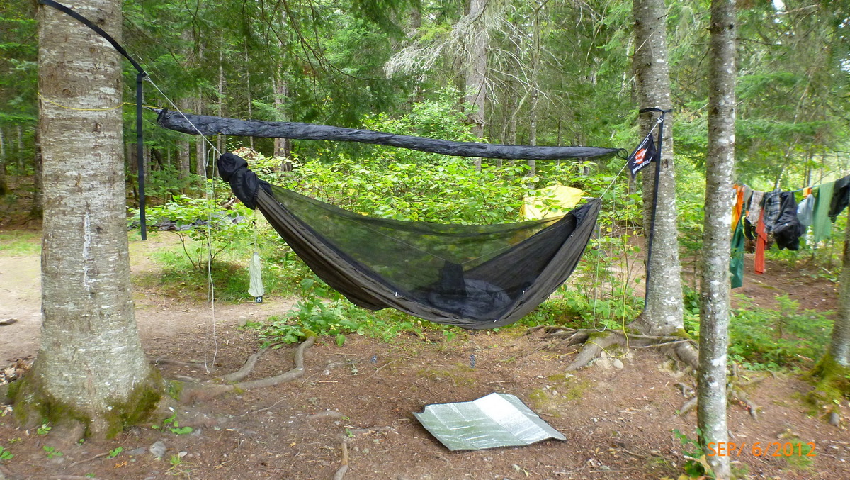
Big Brook North Campsite night 5 
Hammock forums.net 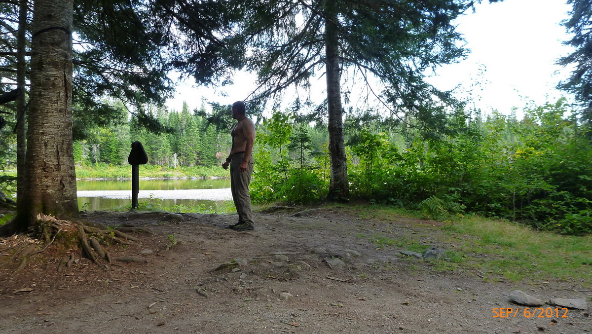
Ready to run from moose 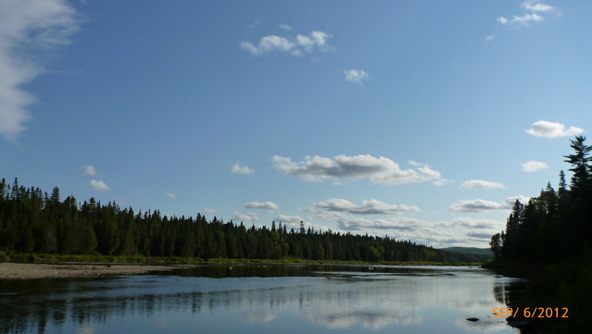
River at end of day 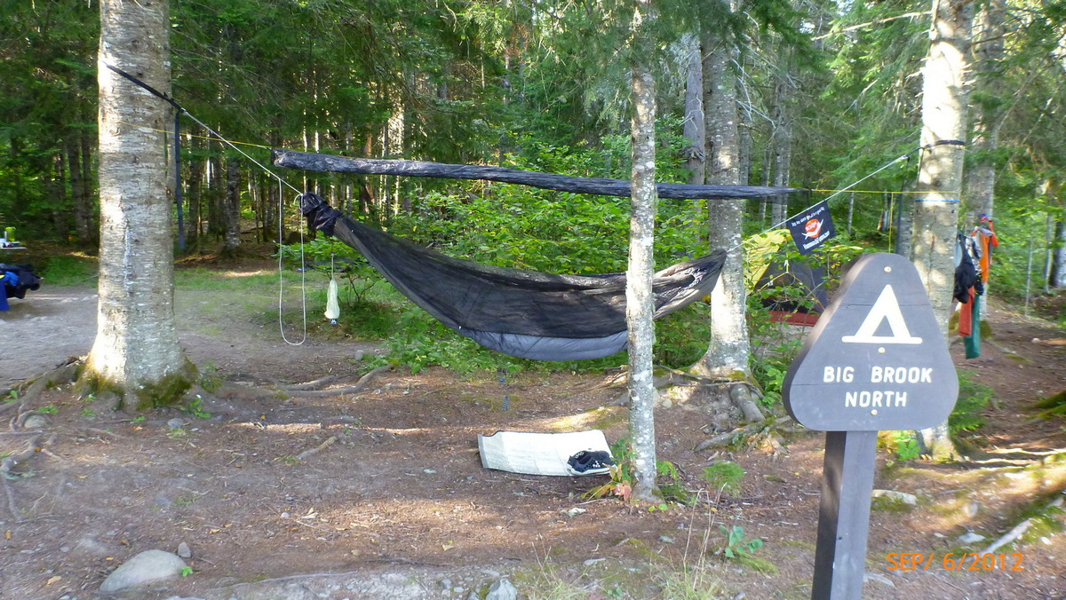
Hammock setup night 5 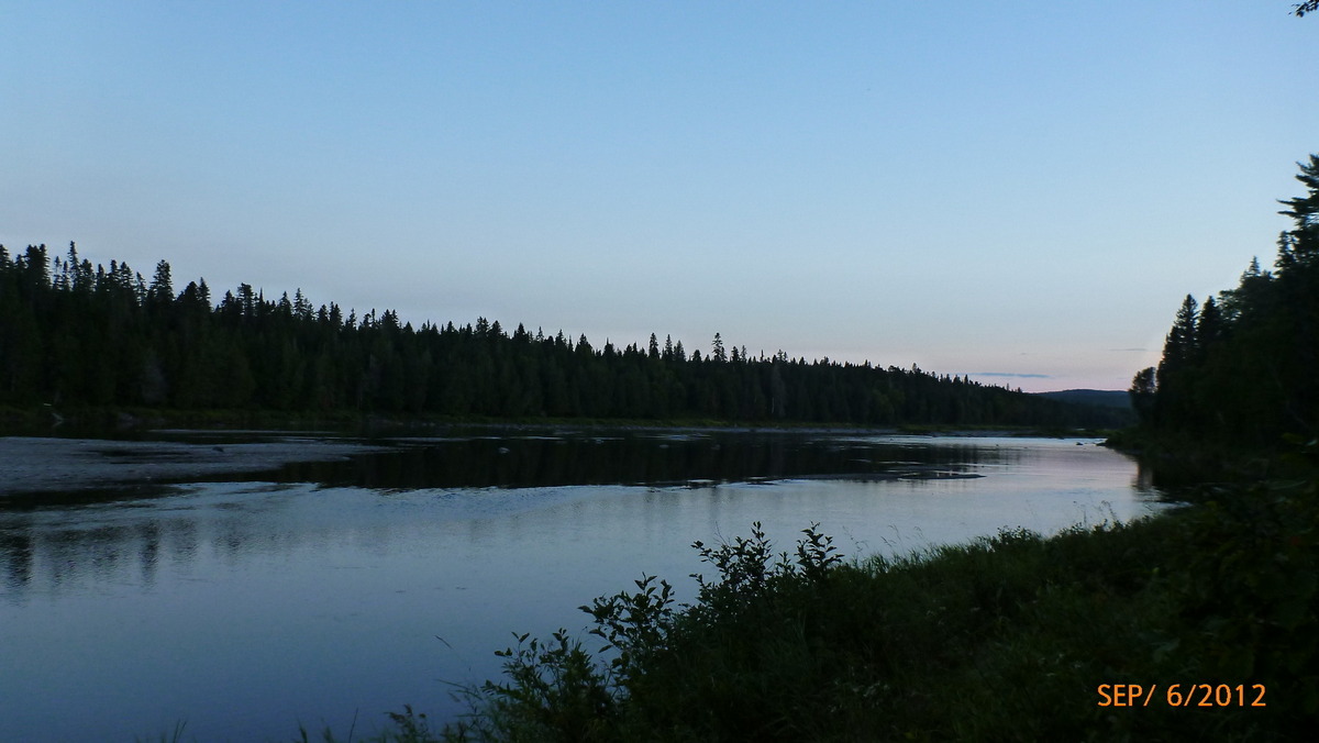
River in the evening day 5 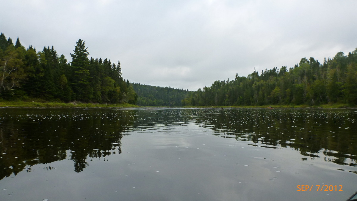
Start of day 6 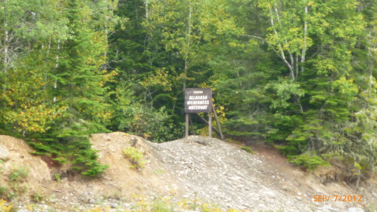
Leaving the waterway 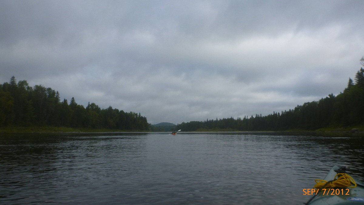
End of the waterway 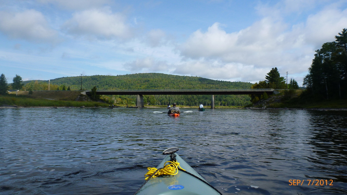
Exit waterway 
Got wood 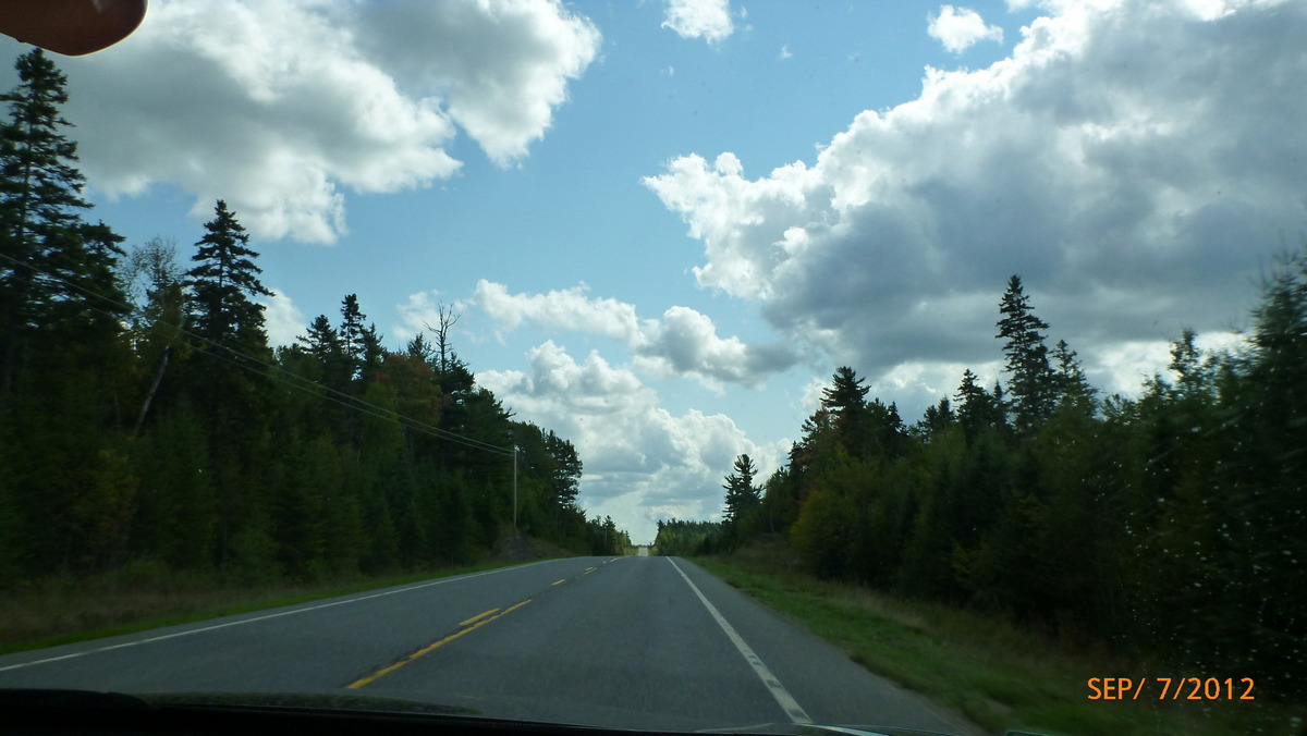
Headed home

